DAY 1: HOYA DE LA MORA – REFUGIO DE LA CALDERA
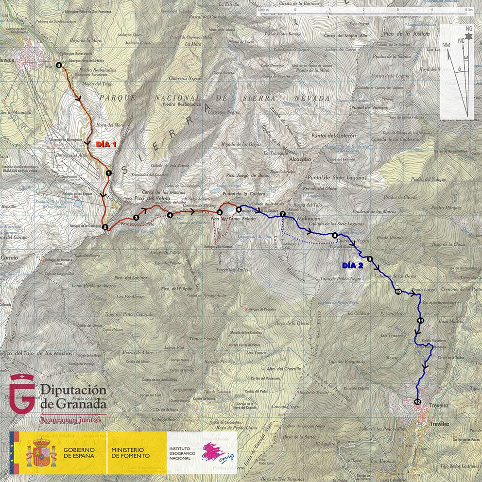
We start from the Hoya de la Mora, or Hostels (point 0) to the south, in an ascending direction, passing near the monument dedicated to the Virgen de las Nieves, and then following the Loma de Cauchiles.
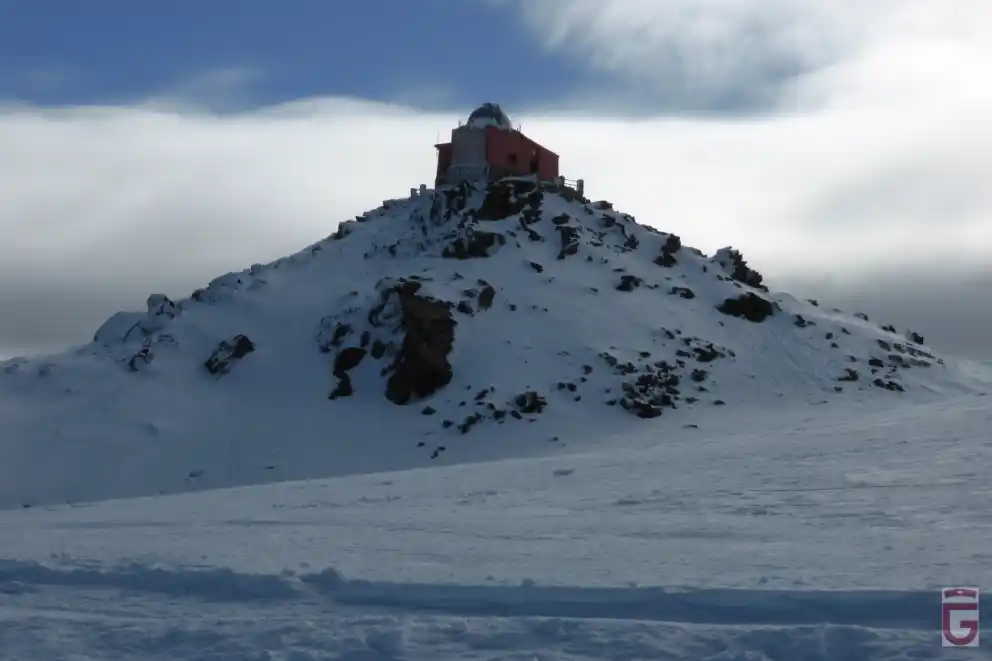
located in the hoya de la Mora
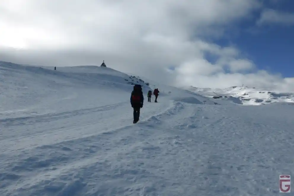
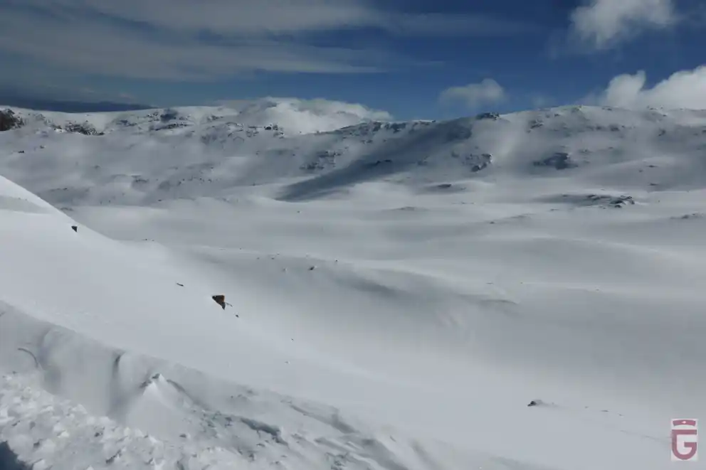
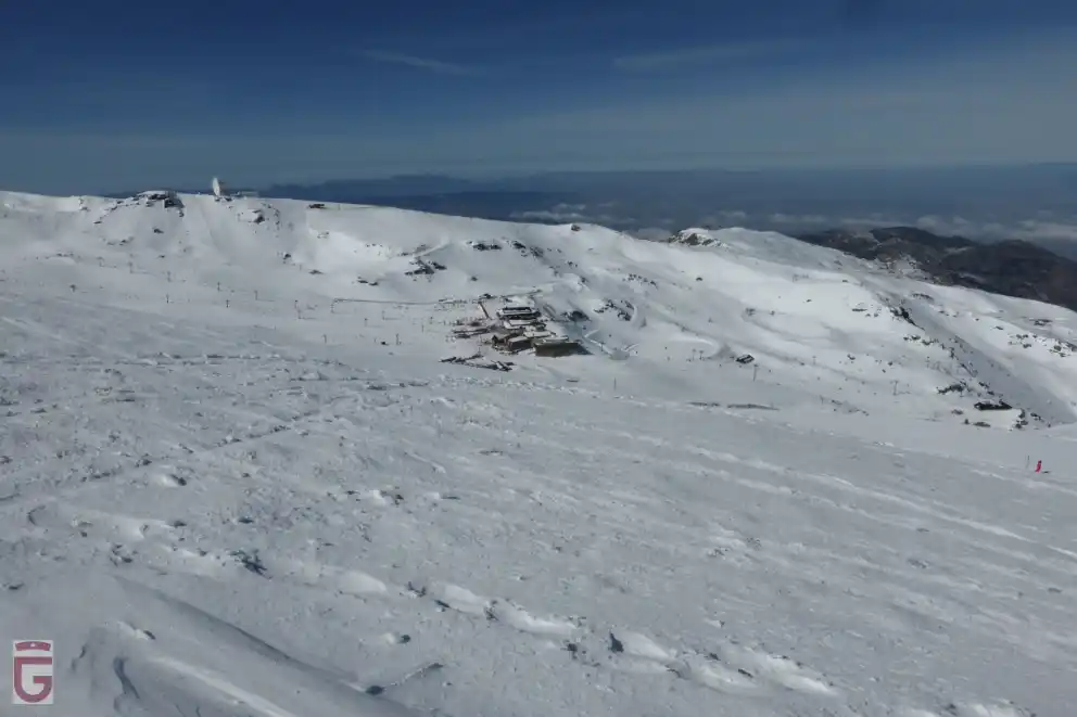
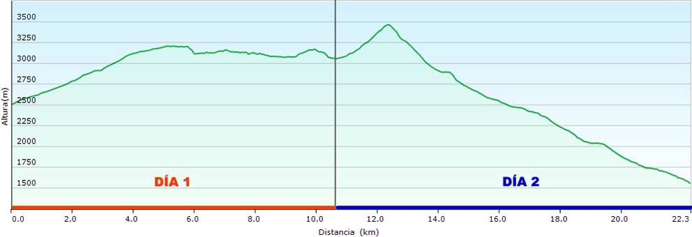
After about 2 hours and a half from our departure, we will arrive at Las Posiciones, a place from where we can look out over the Corral del Veleta and contemplate the northern slopes of the Cerro de los Machos and the Picacho del Veleta. From here (point 1) we will follow the route of the old Granada-Alpujarra road, now converted into a narrow ski slope that runs halfway up the western slope of the Veleta. After being forced to cross other ski slopes in a transversal direction (taking extreme precautions to avoid skiers colliding with us), we will arrive at La Carihuela (point 2) and its bivouac-hut.
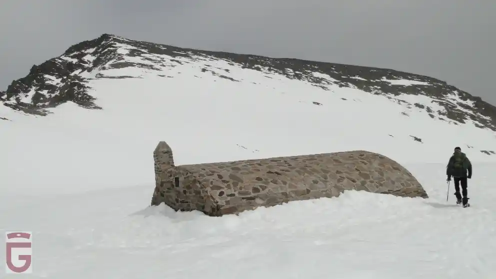
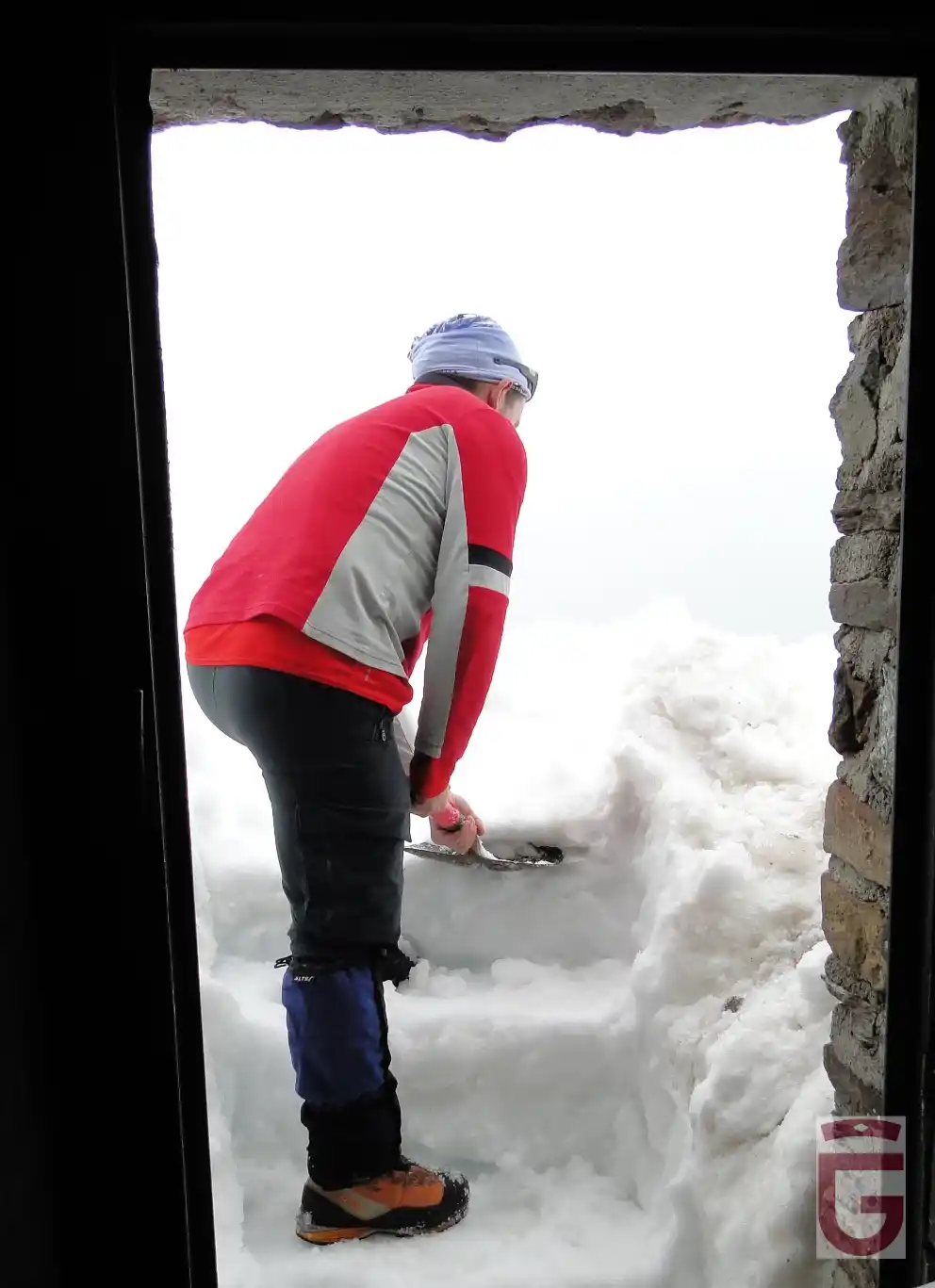
There is the possibility that the Refugio-vivac of La Carihuela is partially or totally covered by snow due to its position, on the leeward side, which favors this circumstance to occur in exceptional snowfalls.
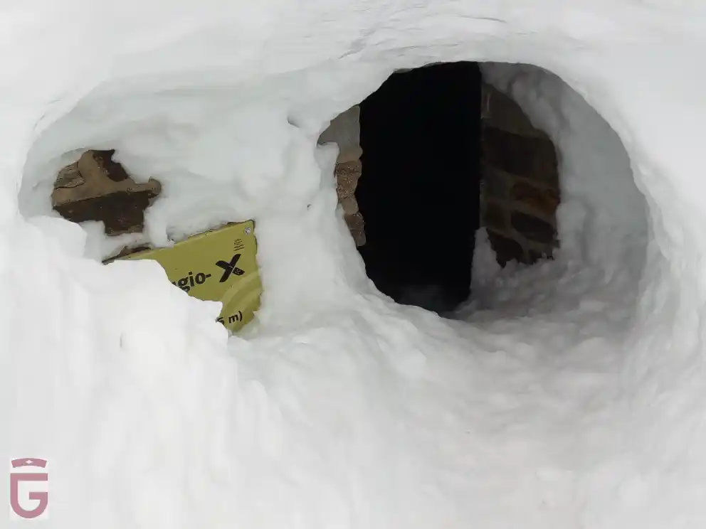
completely covered in snow
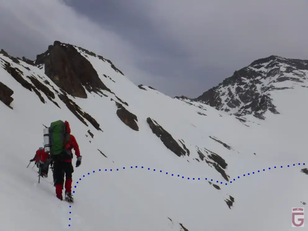
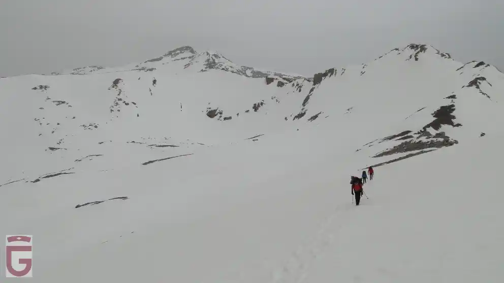
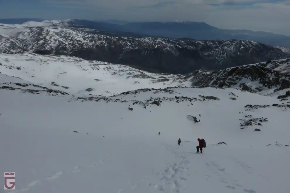
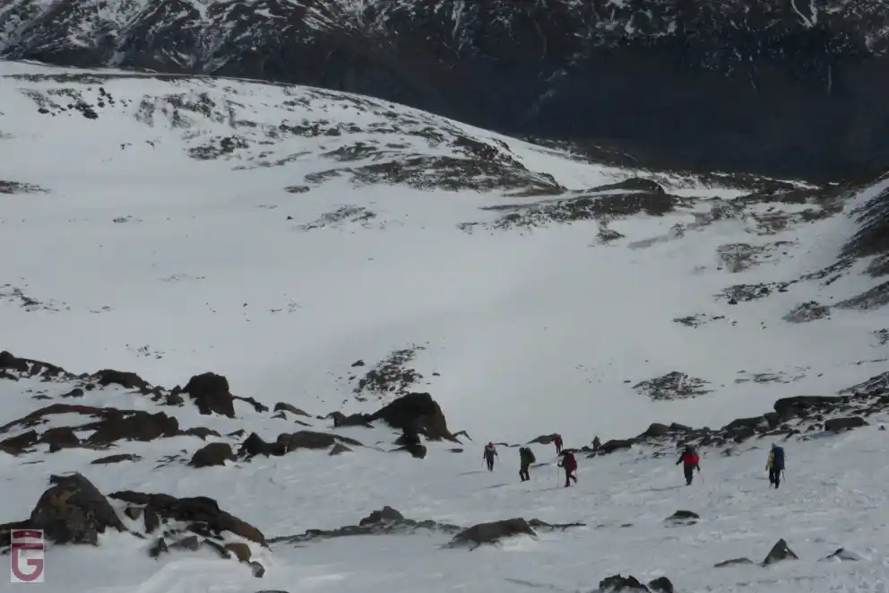
Once past La Carihuela, we will leave behind the ski resort to enter the lonely southern slope of the mountain range. From the pass, we will have to descend until we reach the base of the first rocky step that lies below. We will then find ourselves in the Vasares del Veleta through which runs the trace of the old Granada-Alpujarra road, which we will probably not see, being completely covered with snow. From here we will go halfway up the slope, in an easterly direction, noticing how, little by little, the slope decreases and our surroundings widen. To our left, we can contemplate the rugged south face of the Veleta. Later, depending on the conditions of the Paso de Los Machos (point 3), we can choose to continue halfway down the slope and cross it, or, on the contrary, descend some 200 meters, reach the hollow located at the base of the southern slope of Cerro de Los Machos and cross the valley until we reach the Puerta or Portillo de Río Seco (point 4).
The Paso de Los Machos, called this way by mountaineers, is a short pass that can present important slopes that must be traversed both laterally and frontally (in a descending direction). Given the significant exposure to fall that the pass can present (in case of hard snow or ice), it is preferable to avoid it.
Another circumstance that may encourage us to cross the watercourse instead of walking along the southern slope of Cerro de Los Machos, is the possibility of avalanches or landslides in that place (after a storm, as the slope is facing south, stones and/or ice fragments may fall from the top).
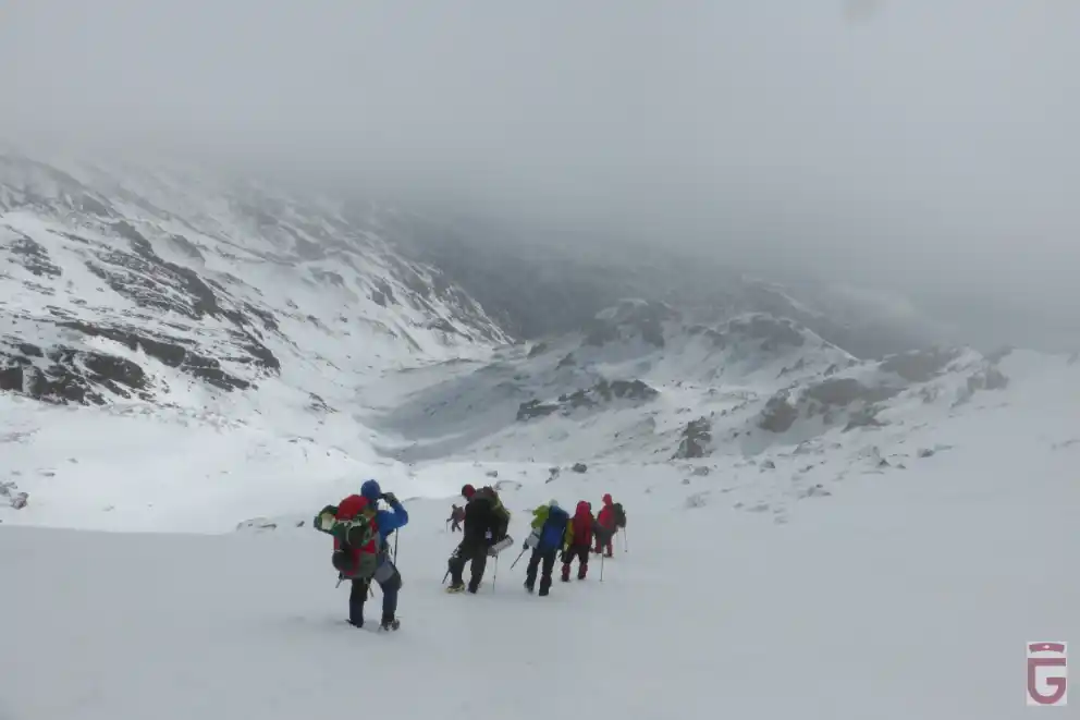
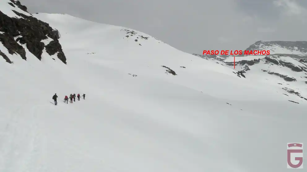
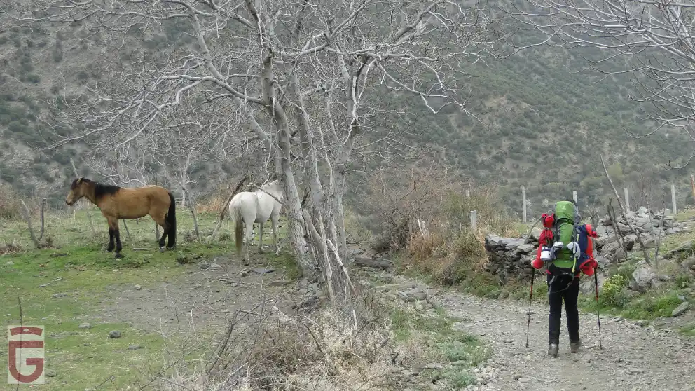
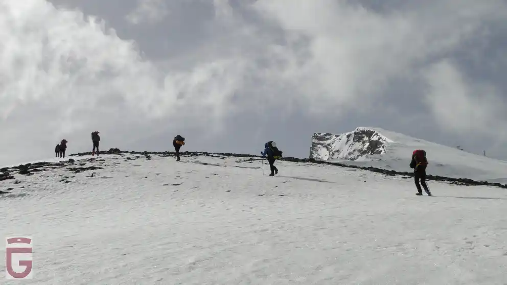
in the direction of the Paso de los Machos
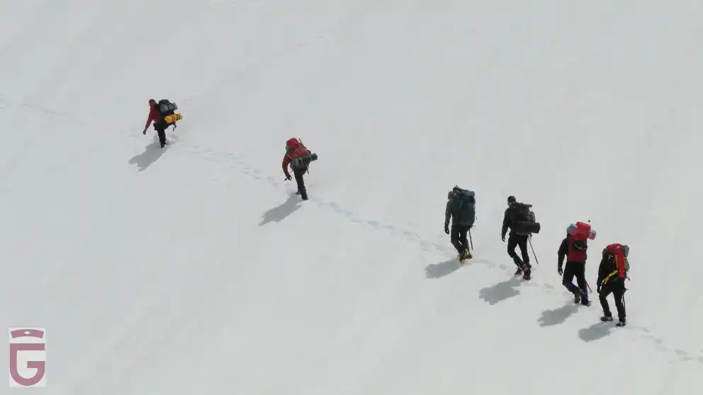
under the southern slope of Los Machos
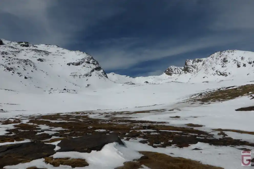
La Puerta or Portillo de Río Seco is the result of the carving executed in its day on the rock to facilitate the layout of the old road. Once we have passed this point, we will find ourselves at the head of the Río Seco valley, a large cirque of glacial origin flanked by the Raspones de Río Seco (to the west), by the Crestones de Río Seco (to the north) and by Loma Pelá (to the east), towards which we will head.
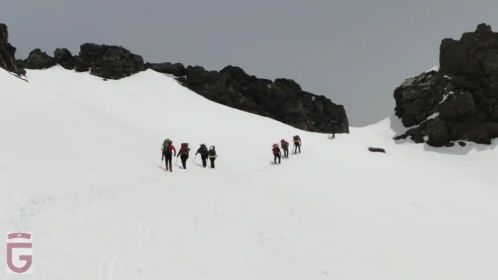
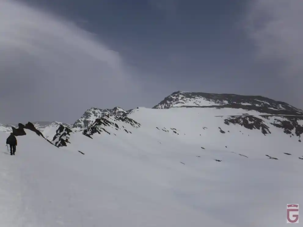
At this point, there are again several alternatives. If the conditions are hard snow or ice and we have no evidence of a track between Loma Pelá (point 5) and the Refugio-vivac of La Caldera (point 6), there is fog or there is a risk of avalanches, it is advisable not to climb Loma Pelá and continue halfway up the slope towards the south, passing by the Refugio de Villa Vientos and going around the hill to the south until we reach the Refugio-vivac of La Caldera. On the other hand, if conditions are favorable and we feel confident, we will go up to Loma Pelá (point 5), and from there, we will walk laterally, in gradual descent, between the moderate and steep slopes of the northern slope of the deep pit in which the Laguna de La Caldera is located. A third option is to head to the right once we have reached Loma Pelá (point 5), going up the highest of the promontories located on it. Once we are on the promontory, we will look for the most comfortable and less steep way to descend the western slope of Loma Pelá, following an obvious watercourse. One way or another, once we have crossed Loma Pelá, we will have reached La Caldera, in whose refuge-vivac (point 6) we will spend the night.
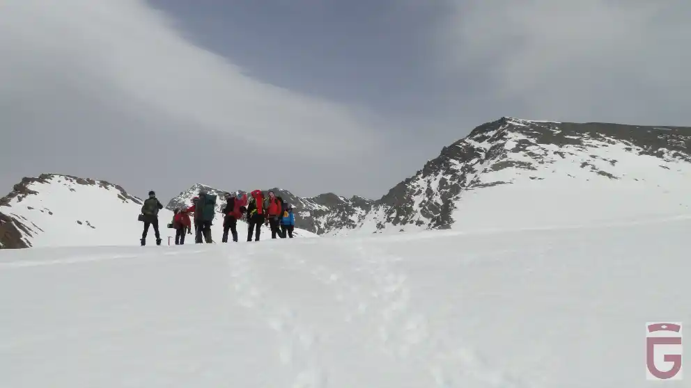
located at the foot of the western slope of Mulhacén.
The Refugio-vivac of La Caldera (point 6) has benches and a table, as well as two bunk beds, one low and one high, on which can sleep between 15 and 20 people. This refuge is widely used by those mountaineers who, accessing it from Capileira (Hoya del Portillo, Refugio del Poqueira...), intend to climb the Mulhacén through its west face (following the normal route), or through its north face (under winter conditions). That is why we could find the refuge quite full upon arrival, being forced to sleep on the table, on the benches, or even on the ground, which could be waterlogged. Faced with this prospect (especially on long weekends or during the vacation season), it is advisable to carry tents.
DAY 2: REFUGIO DE LA CALDERA-MULHACÉN-TREVÉLEZ
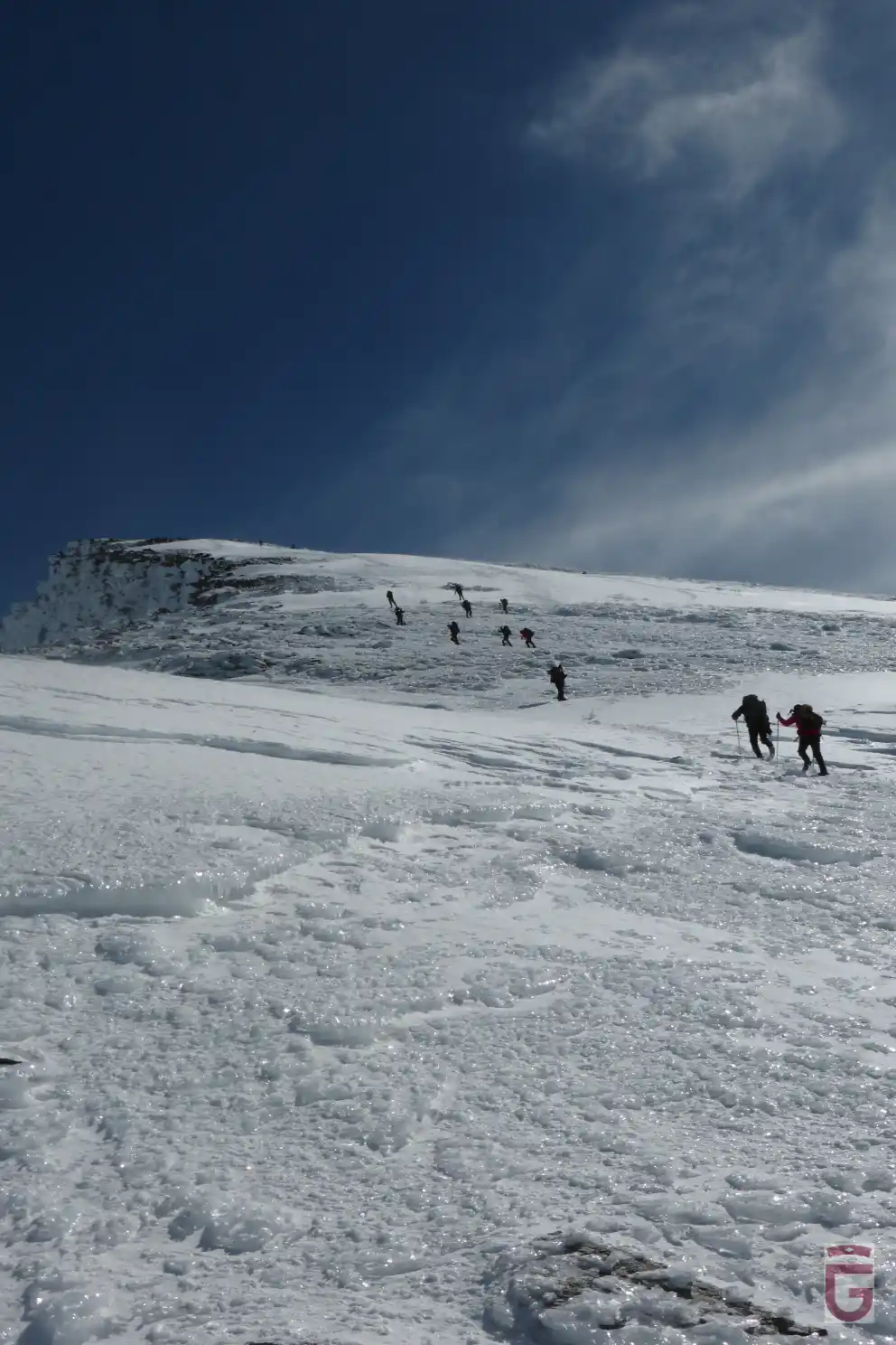
The second day of our trip we will start from the refuge-vivac of La Caldera (point 6) towards the summit of Mulhacén. To do this we will have to climb about 400 meters of slope through its western slope. In this ascent it is frequent to find ice, especially in the final part of the same due to its exposure to the wind.
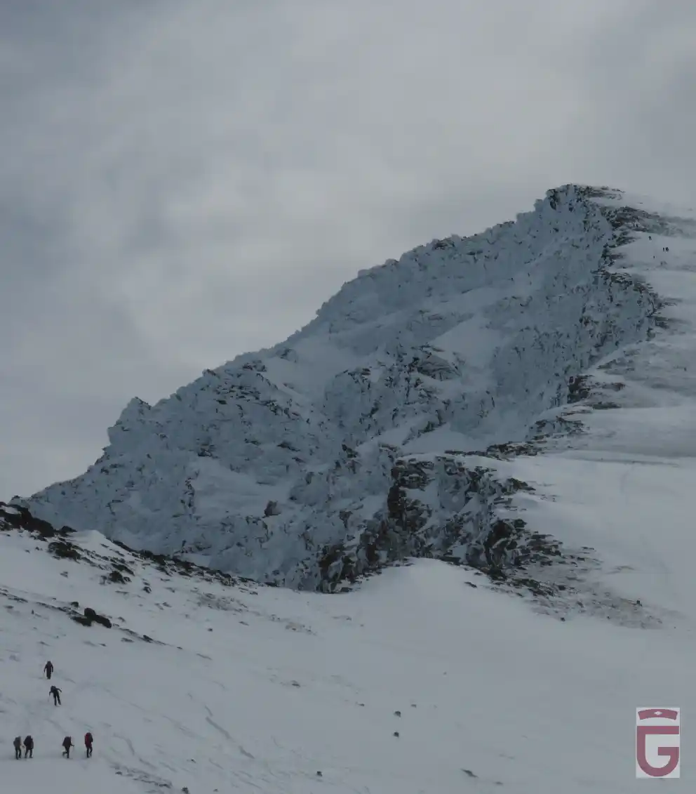
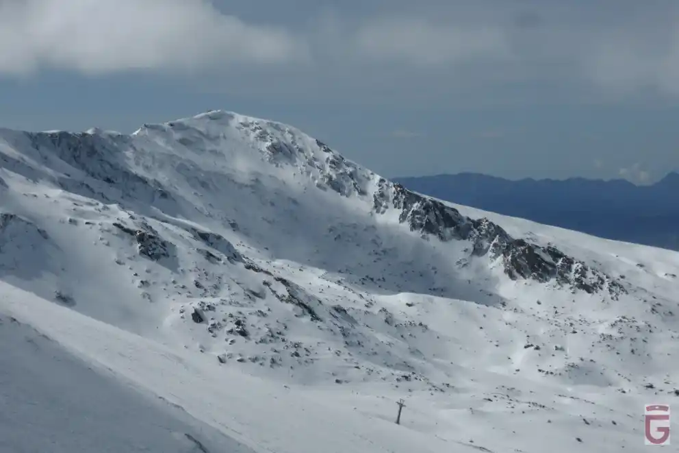
El Veleta and Los Machos hill in the background
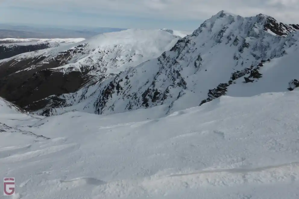
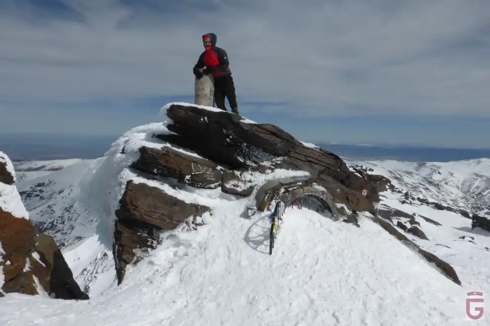
Once we reach the summit of Mulhacén (point 7), we can enjoy the wonderful views it offers in all directions. Under our feet, the impressive north face. To the west, the Cerro de Los Machos, the Picacho del Veleta and, in the background, the Cerro del Caballo. To the northeast, the Alcazaba, very close. To the southeast, the mountain ranges of of Gádor, the greenhouses of Campo de Dalías, and Cabo de Gata. And to the south, the Mediterranean Sea and, on clear days, even the coast of Africa.
In the surroundings of the summit of the Mulhacén we will find numerous remains of constructions (military positions of the civil war, a hermitage...), which can serve us to shelter us from the wind in case this one makes itself noticeable.
After leaving behind the summit of Mulhacén, and provided that the mountain conditions are favorable (no ice or danger of avalanches), the descent to Siete Lagunas can be done on the eastern slope of the peak, through the so-called Cañada del Borreguil. If this option is not recommended, we will follow the usual path, which runs over the Loma del Resuello leading us to the Laguna Hondera (point 8), where we may begin to see water instead of snow.
The Mulhacén on the left, El Puntal de Siete Lagunas, in the background, in the center, and the Peñón del Globo and Tajos Colorados on the right.
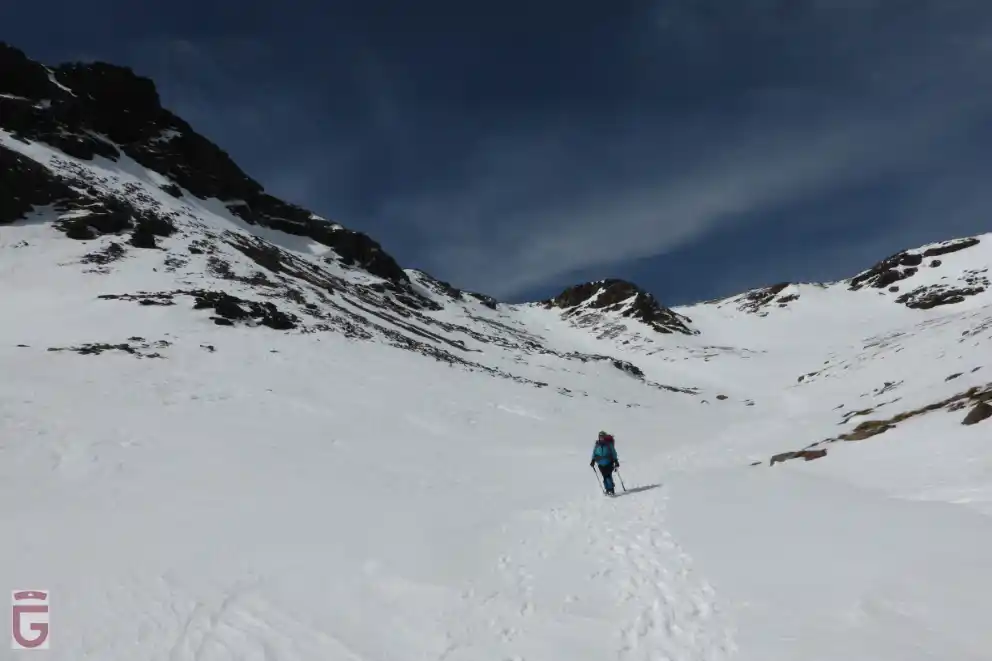
From the Laguna Hondera we will descend through Chorreras Negras, which could be totally or partially covered with snow, following the watercourse through which the Culo de Perro River flows. If the snow has already disappeared, our walk will take place through the path that is the usual ascent to Siete Lagunas from Trevélez.
At a certain point, we will cross the Culo de Perro River next to a concrete dam in poor condition (point 9), leading us along the trail to La Campiñuela, where we will find a small shepherds' shelter rehabilitated by the park (point 10).
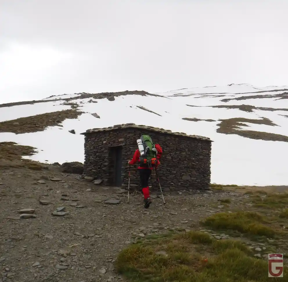
After leaving behind the Refugio de la Campiñuela, we will cross the Acequia del Mingo and continue along the marked trail, which will take us into a pine forest composed of sparse specimens. After zigzagging through the pine forest, we will come out at the Acequia Gorda (point 11), next to which we will continue walking for a while. Soon we will begin to descend again following a bridle path. We will pass by numerous fields and several farmhouses, and, after half an hour, which will be endless due to the accumulated fatigue and the immediacy of the end, we will arrive at Trevélez (point 12), a village in the Alpujarra where our journey culminates.
