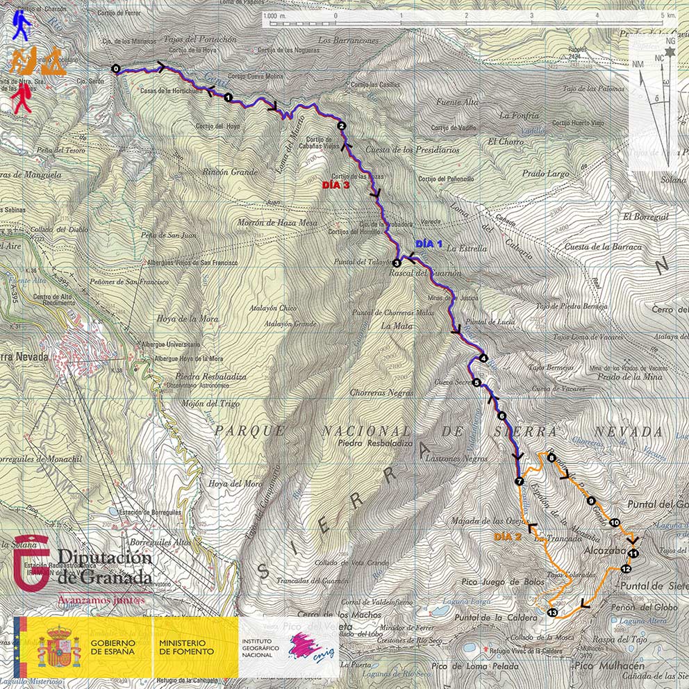
DAY 1: VEGUETA DEL CARACOL – RIVER VALDECASILLAS
The path starts in the Vegueta del Caracol (point 0), place where the Arroyo de San Juan flows into the Genil River, and where the route of the Tramway of the Sierra used to arrive in the past. We will cross the Genil River over a bridge and join the Vereda de la Estrella.
The Vereda de la Estrella was opened in the 60's of the XIX century to facilitate the access of people and the transport of materials to and from the mines of La Probadora, La Estrella and La Justicia, all of them located upstream of the Genil River.
In the first part of our tour we will observe how the Vereda de la Estrella runs over deep gorges. This is the area of the Arrecife. Soon after, we will pass by the chestnut tree El Abuelo (point 1), an ancient specimen known by that name among the mountaineers.
Following the Vereda de la Estrella we will cross the Barrancos de las Tormentas, de la Loma del Muerto and de Cabañas Viejas. We will travel at all times along the left bank of the Genil (orographically speaking), and it will be, when we turn decisively to the south, when the imposing north faces of the Alcazaba and the Mulhacén will appear in the background and over the valley. At that precise moment, we will find ourselves in the known as Curva del Viso, or Viso de las Nortes (point 2).
Continuing our approach along the trail, we will pass by the Minas de la Probadora. Soon, we will arrive at the crossroads where the path that comes from the Cortijo del Hornillo joins the Vereda de la Estrella. We will continue straight on, ignoring the detour, and we will cross the remains of the old settlement that once constituted the Minas de la Estrella. We will go down to the Guarnón River, which flows into the Genil River just below the Minas de las Estrella, and we will cross it thanks to a bridge (point 3).
Once we cross the Guarnón River, we will go around the Loma del Lanchar, we will contemplate the Barranco del Aceral, whose waters fall into the Genil River like a waterfall, and soon we will arrive at the Minas de la Justicia.
After passing the remains of the Minas de la Justicia, we will arrive at the Junta de los Rios (point 4), a place where the rivers Valdecasillas and Valdeinfierno unite to form the River Genil.
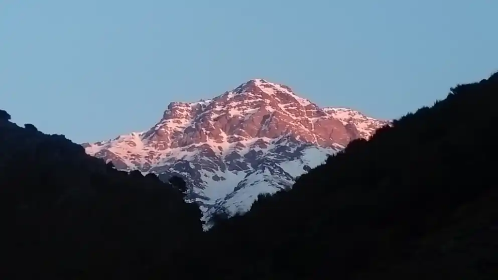
the Junta de los Ríos (point 4), at sunset
We will follow the course of the Valdeinfierno River through the Majada del Real and reach the area known as Cueva Secreta (point 5). After crossing the Valdeinfierno River thanks to a bridge, and placing ourselves on the Majada del Palo, we will go diagonally up the western slope of the Loma de Casillas until we surpass it (point 6).
Once we have crossed the Loma de Casillas, we will have entered the Valdecasillas River valley. We will contemplate the entire Espolón de la Alcazaba, a huge scrape, rather hill in its lower half, 1,500 meters of unevenness and that constitutes the hinge that separates the north face of the west face of the Alcazaba. Given that the next day we will begin ascending the Espolón de la Alcazaba, we will head towards the Valdecasillas River, we will continue ascending briefly next to it, and, in the proximity of its waters, we will look for the best of the stone corrals to bivouac (point 7).
DAY 2: RIVER VALDECASILLAS – NORTH OF THE ALCAZABA – RIVER VALDECASILLAS
On the second day we will leave from our place of overnight stay (point 7) at about 04:00-05:00 h. Previously, we will have hidden our bivouac material.
We will start going up the opposite slope of the river. To do this we will cross it and follow one of the traces that, diagonally, and in a northeastern direction, will allow us to overcome the slope and reach the edge of a marked watercourse. We will cross the flat valley, in an eastward direction, and we will go up again. We will find ourselves already on the western slope of the Espolón de la Alcazaba, but we will not find any trace to follow. What we will do is to always climb diagonally, in a northern direction, avoiding the natural obstacles that we will find (small rocky projections and bushy vegetation) until we reach the edge of a new watercourse, this one steeper than the previous one and that we will not cross, but we will go up until we are at the beginning of the Espolón de la Alcazaba, on which we will find a prominent rock (point 8).
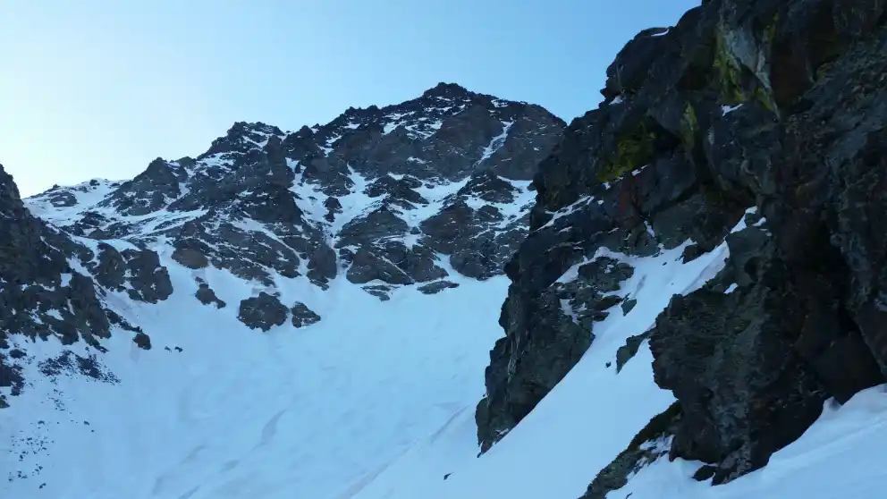
From this place we will have to go up the hill that is here the Espolón de la Alcazaba until we reach 2,650 meters above sea level (point 9), when we will leave the spur to go to the left, halfway up the slope, and enter the hanging funnel-shaped valley that is located in the right half of the north face of the Alcazaba, just below the north wall itself.
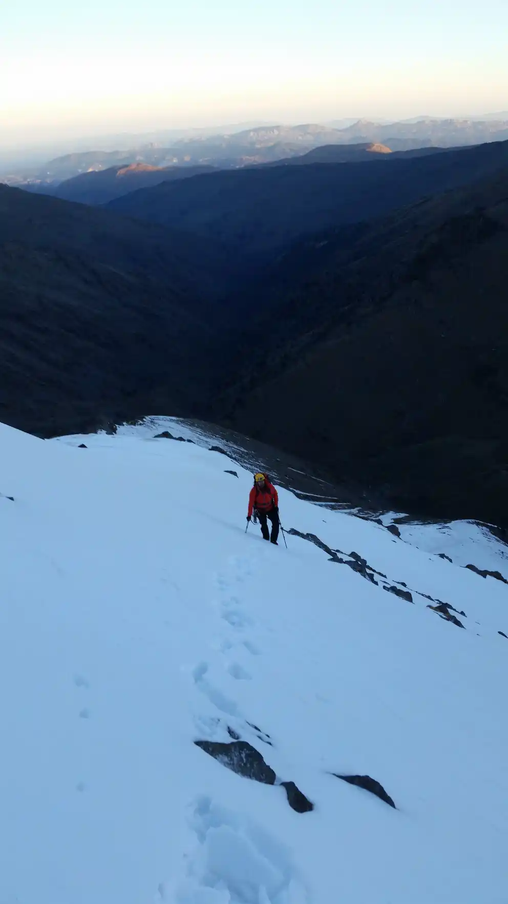
Once we have entered the hanging valley, we will have to head towards its upper left end, where the access to the narrow corridor that constitutes the beginning of the Vía Directa of the North of the Alcazaba is located (point 10).
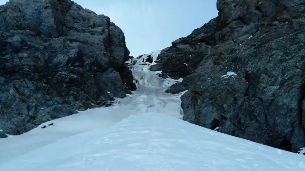
The initial corridor presents an ice cascade with a short section of inclination close to 85º. This waterfall can be surmounted in 2 pitches of rope by mounting meetings on rock. Once the waterfall is overcome, a third pitch of mixed climbing will allow us to access the icefall that, located under the Gran Vasar de la Alcazaba, we will climb.
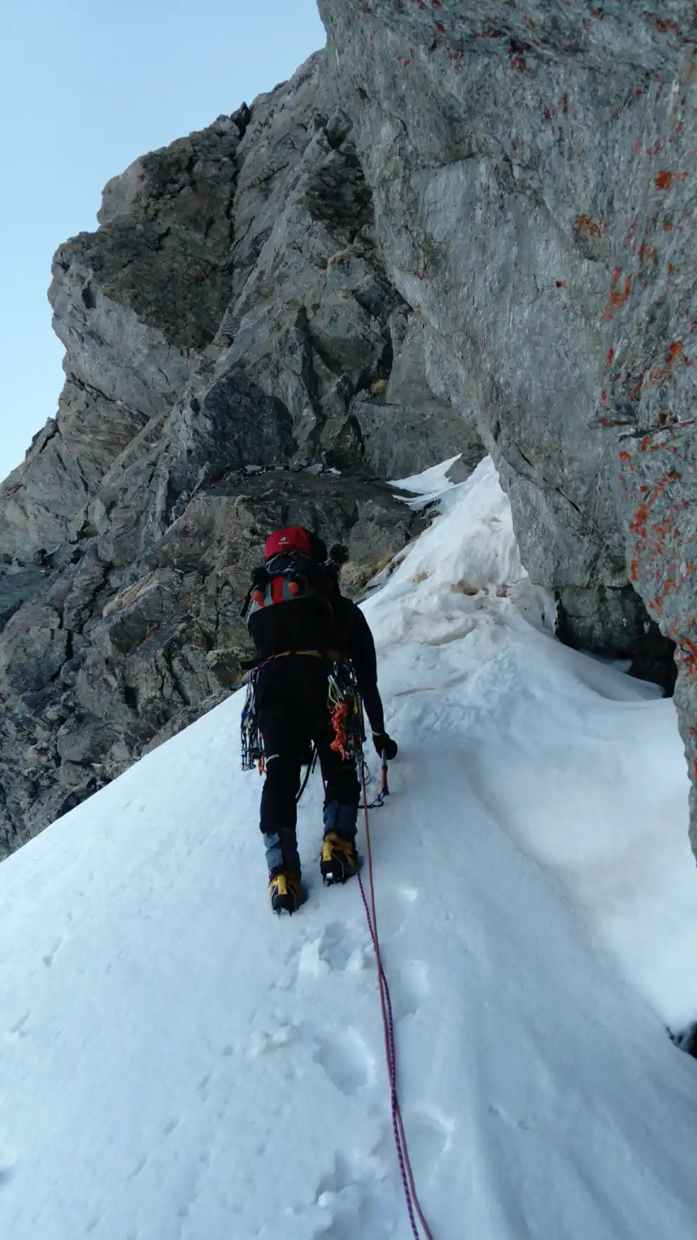
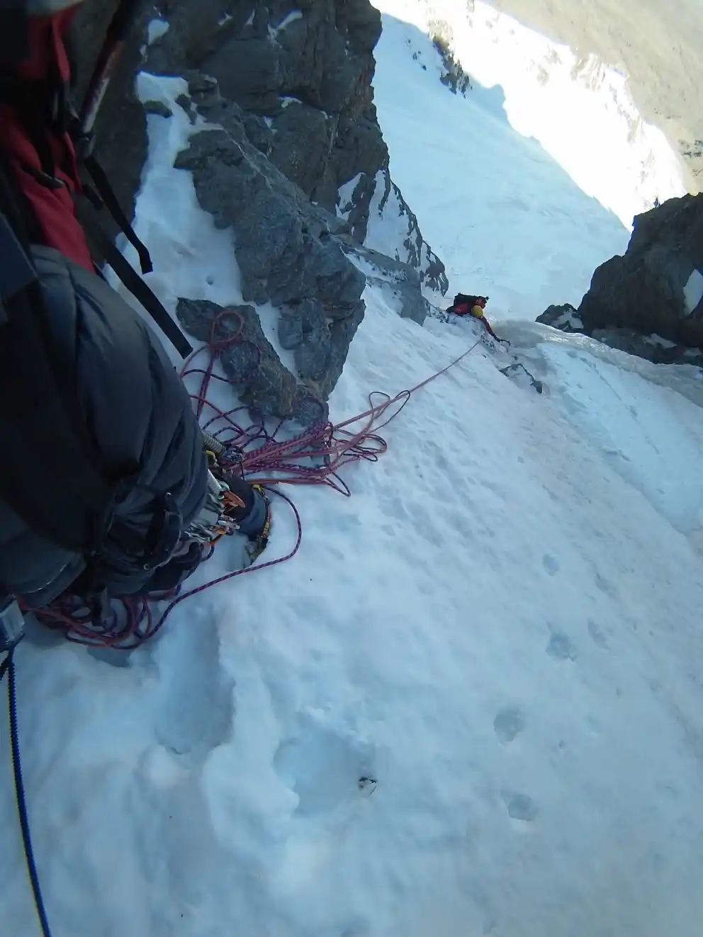
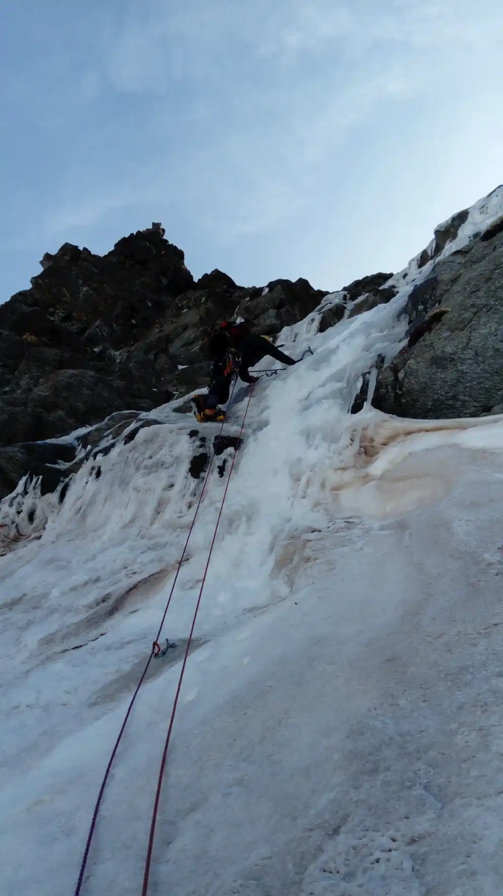
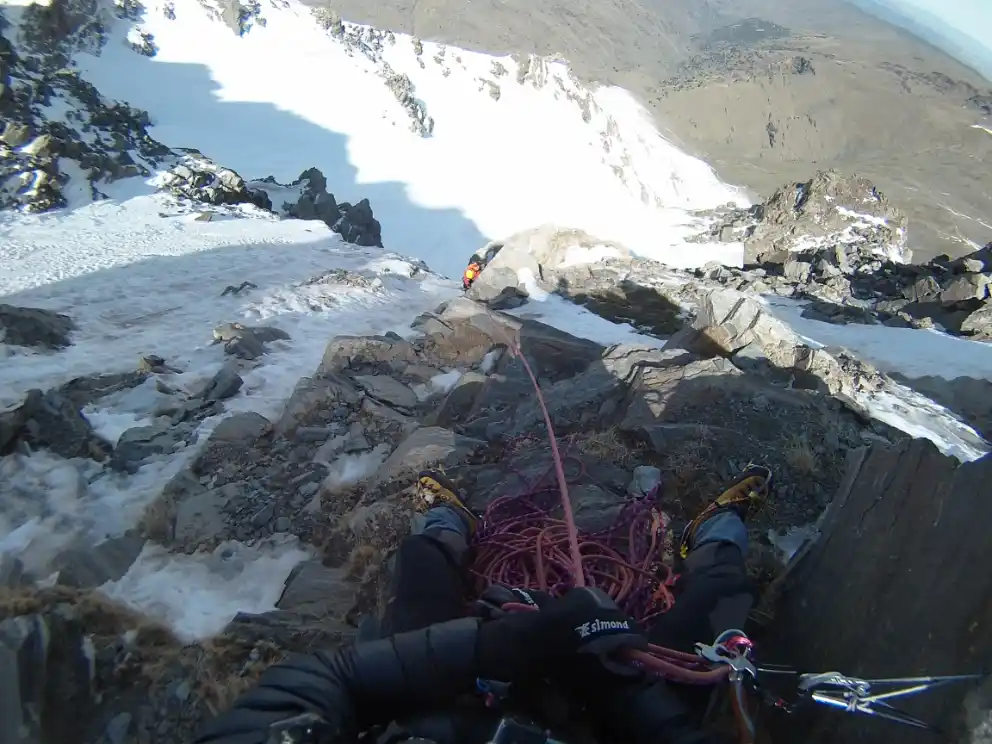
The Gran Vasar is a cornice located at 3,000 m.a.s.l. that runs horizontally along both the north and west faces of the Alcazaba, being widely used by mountaineers to move across it in summer.
When we finish climbing the snowdrift, once we are on the Gran Vasar, we will have to continue ascending through the obvious corridor that, starting diagonally to the left, avoids the vertical wall above us. By following this second corridor we leave the Via Directa to continue along the Via de los Madrileños of the Northern face of the Alcazaba.
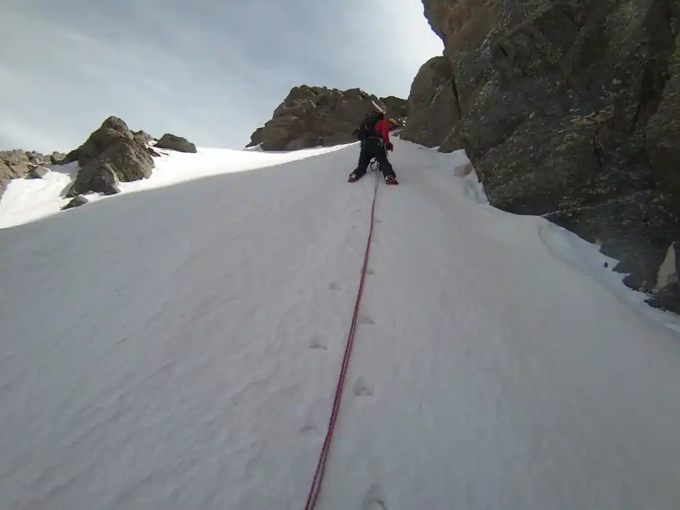
At the end of the corridor, we will turn to the right and we will come across a ledge that, if overcome from the left, will be rocky and will present a difficulty of IVº+.
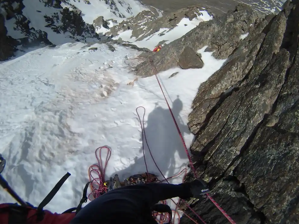
After overcoming this difficulty, we will alternate the ascent through snow slopes with some rocky projections (IIIº+).
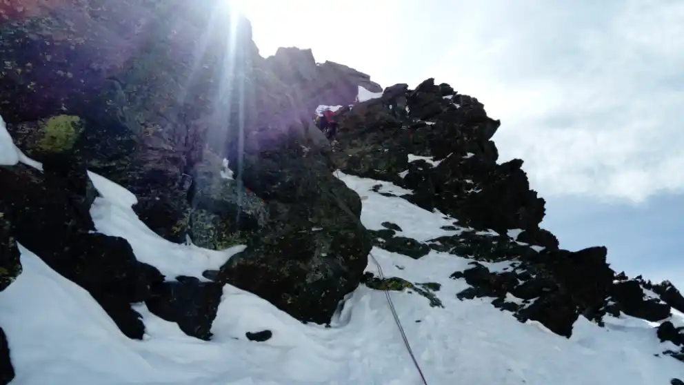
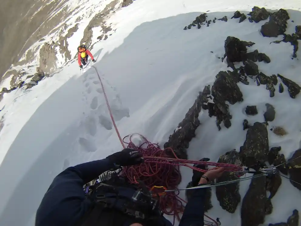
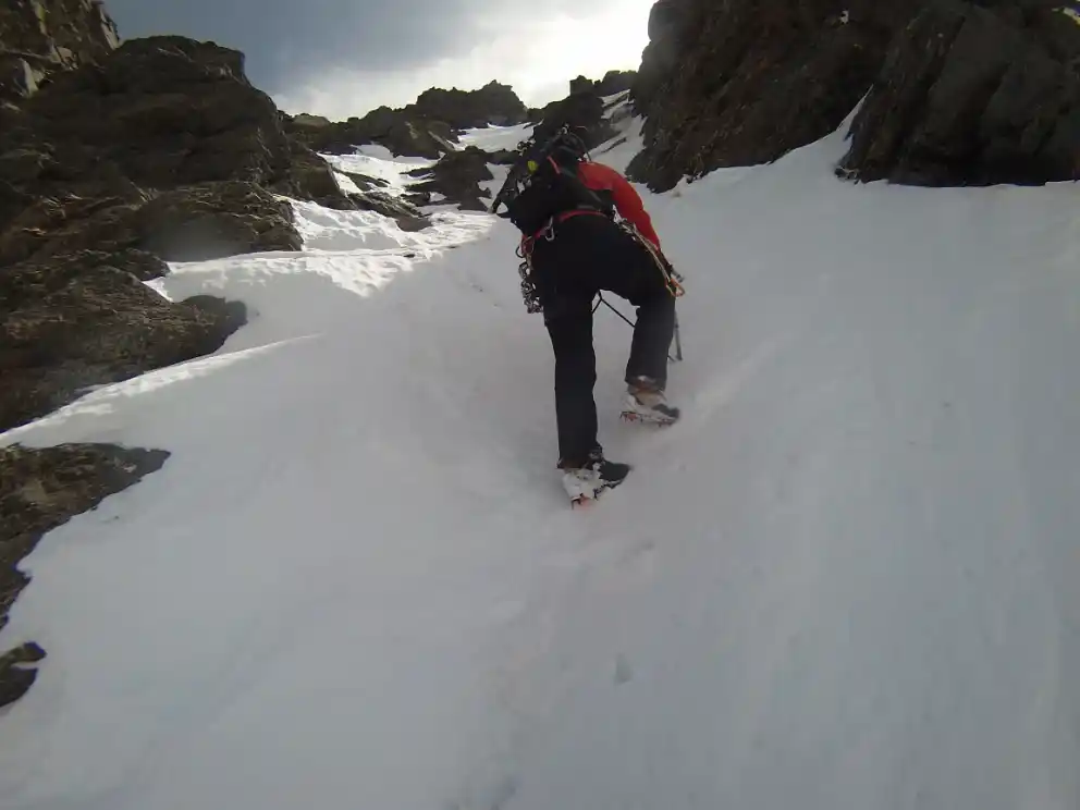
Finally, we will find ourselves situated on the snow slopes that will take us to the summit of the Alcazaba (point 11). This final part of the climb coincides with the Via Superdirecta of the North Alcazaba.
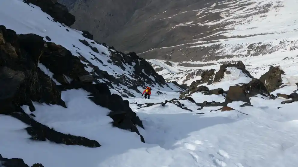
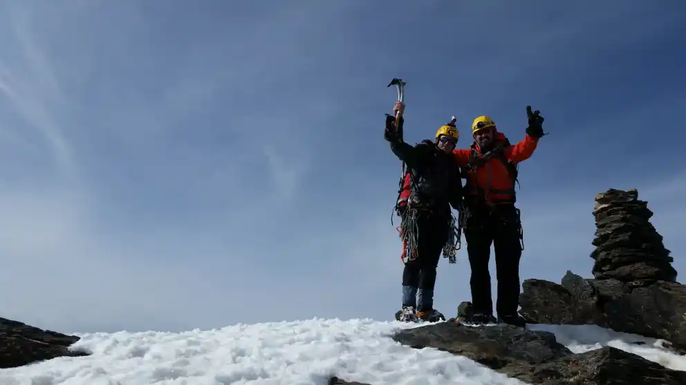
The descent from the top of the Alcazaba will be made through an obvious corridor located on the west face and whose beginning (point 12) is very close to the summit.
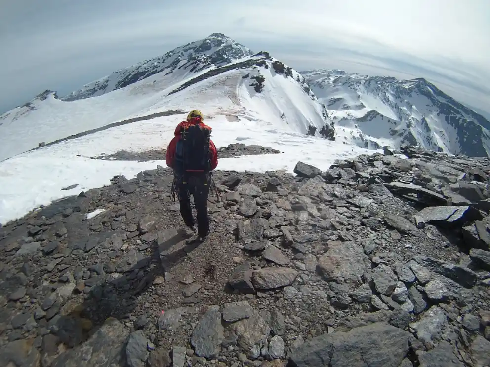
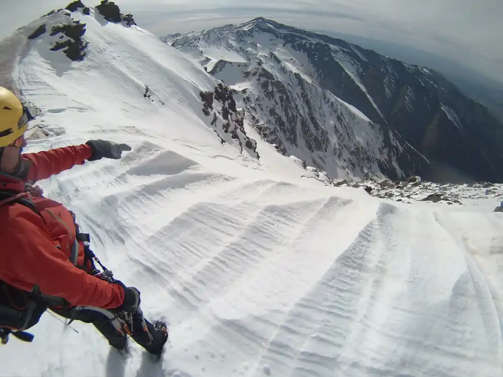
Once we have descended this corridor, we will be on the great snow that crosses the west face of the Alcazaba. We will follow the snow to the left, in gradual descent, directing our steps towards the Hoya del Mulhacén, where the Laguna de la Mosca is located (point 13), which may be completely hidden under the snow.
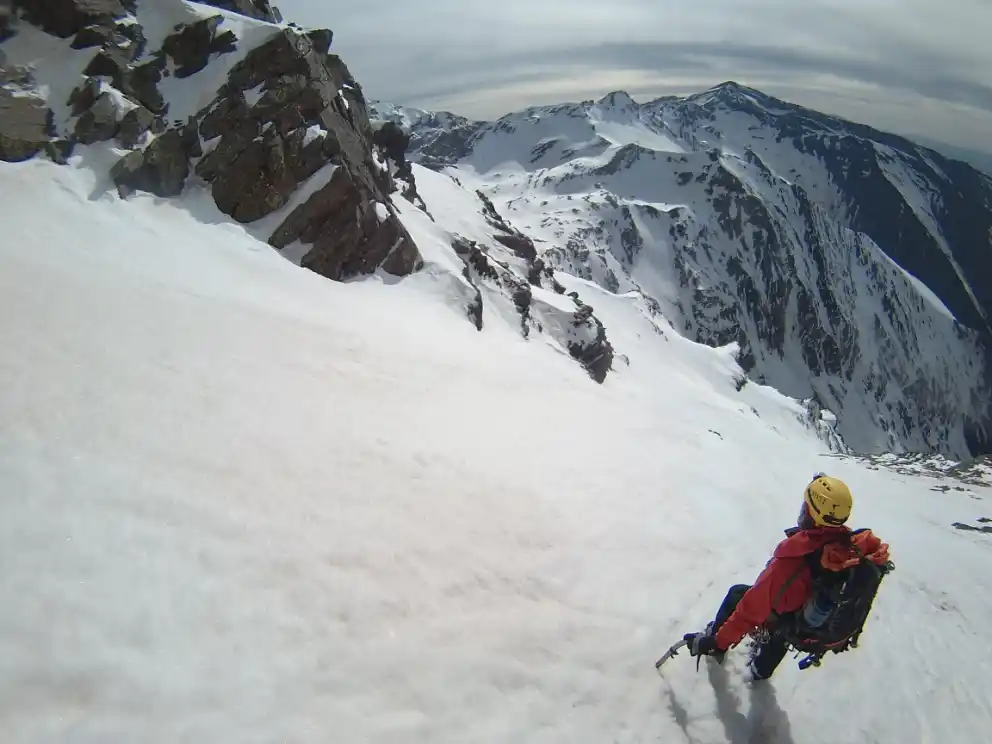
towards the Laguna de la Mosca.
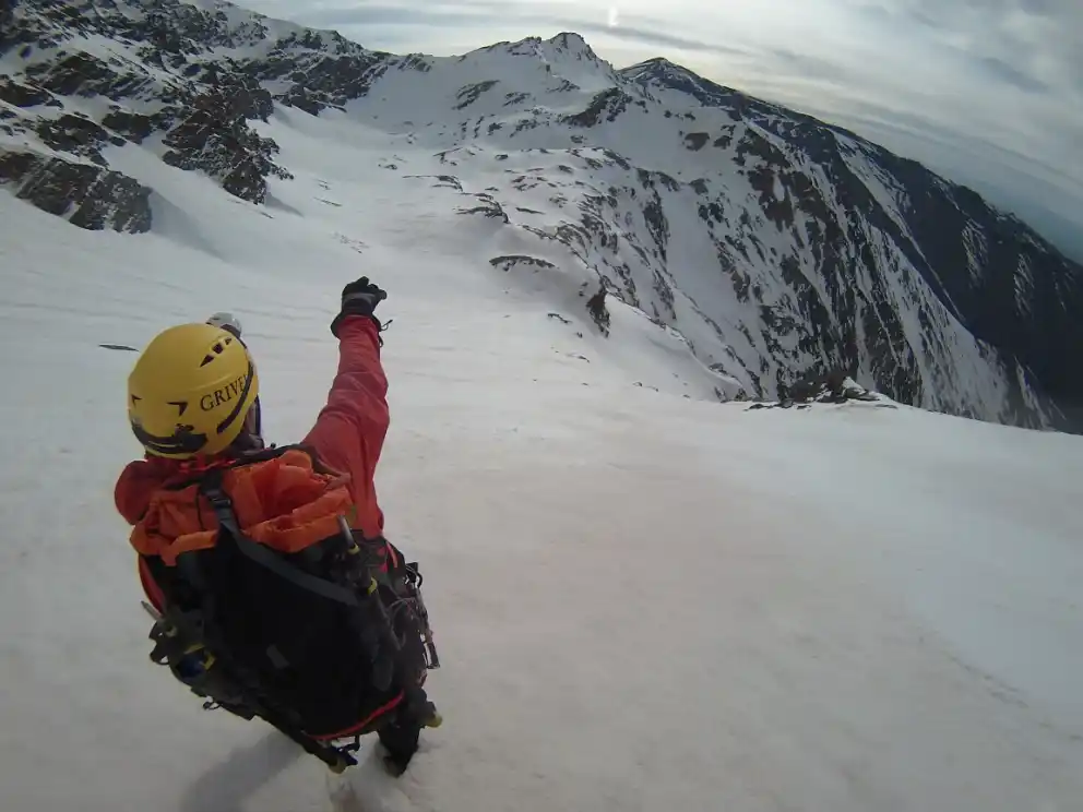
(the one seen on the right is the most advisable, for less dangerous).
Under winter conditions, the most comfortable descent to the Valdecasillas starting from the Laguna de la Mosca is the one that goes through the small depression below the Juego de Bolos Peak. This depression is located to the west of the Laguna de la Mosca and, from there, you can descend to the Valdecasillas following a wide snow slope. This shovel, of moderate slope, ends in a narrow steep channel that we will be able to avoid on the right. Finally, leaving the Chorreras de la Mosca above, to our right, we will come out into the great valley through which the Valdecasillas River flows.
If conditions permit and we are confident enough, we can descend to the Valdecasillas from the Laguna de la Mosca more directly, distancing us less from the streams that are the drainage of the lagoon, the so-called Chorreras de la Mosca. This option will force us to cross narrower passes and closer to cliffs, which is why we will be forced to take extreme precautions.
Once we have overcome this complicated part of the descent, we will only have to continue descending along the Valdecasillas River and return to our bivouac area (point 7), where we will spend a second night.
DAY 3: RIVER VALDECASILLAS – VEGUETA DEL CARACOL
The third day, after waking up from our bivouac (point 7), the only thing left to do is to retrace the path followed on the first day, a path that will take us about 4 hours, and that will allow us to return to the Vegueta del Caracol (point 0).
