Logo Turismo Granada Header

Mountain Corridors Andino-Himalaya and Pingüino de La Sagra

Ascension to La Sagra (2.383 masl.) under winter conditions and following the Andino or Himalaya mountain corridors (to choose), and Pingüino, through their north face.

Downloads

Media Montaña

Medium Mountain

Alpinismo

Alpinism

Invierno

Winter

Technical data sheet

Technical Difficulty:

Demanding activity with an important positive elevation change, which is carried on under winter conditions. Rock climbing up IIIº, snowy slopes near 40º (PD, 570 m., III, 40).

Time with stops: 09:45 h.
Time without stops: 05:00 h.
Distance: 13,40 Km.
Positive height gain accumulated: 1.150,00 m.
Negative height gain accumulated: 1.150,00 m.
Minimum altitude: 1.259,00 m.
Maximum altitude: 2.383,00 m.
Departure point: Recreational area Las Santas, Puebla de Don Fadrique.
Point of arrival: Recreational area Las Santas, Puebla de Don Fadrique.
Water points: Yes.
List of water points:

Just in the Recreational Area of Las Santas (Nacimiento de las Santas, point 0) and in the Fuente de Maguillounder the Shelter of La Sagra (point 2), we can find water, so it is important to stock up well in any one of these points before tackling the climb.

Closest/s Population/s : Puebla de Don Fadrique and Huescar.
Municipality/ies: Puebla de Don Fadrique and Huescar.
Region/s: Huescar.
Natural Space/s: Other Areas

Map & Profile

Mapa-Corredores-Andino-Himalaya-Web
Map "Corridors Andino-Himalaya and Pingüino de La Sagra"
Perfil-Corredores-Andino-Himalaya
Profile of the route "Corridors Andino-Himalaya and Pingüino de La Sagra"

Full tour

Total distance: 13713 m

Waypoints

Point Name Time (*) Height Latitude (**) Length (**)
0 Recreational area of Las Santas (parking) 0:00 h. 1260 m. N37° 57' 49.0" W2° 31' 01.1"
1 Junction 1 0:45 h. 1.433 m. N37° 58' 01.5" W2° 31' 46.7"
2 Refuge of La Sagra 1:05 h. Is 1,533 m. N37° 58' 05.2" W2° 32' 21.3"
3 End of the lane 1:25 pm. To 1,630 m. N37° 57' 53.6" W2° 32' 52.7"
4 Junction 2 1:45 h. 1.713 m. N37° 57' 48.2" W2° 33' 09.4"
5 La Pedriza 2:00 pm. 1.799 m. N37° 57' 44.1" W2° 33' 26.2"
6 Mountain Corridor Andino 3:00 pm. 1,920 m. N37° 57' 37.0" W2° 33' 31.7"
7 Start of the Mountain Corridor Himalaya 3:15 h. 1.996 m. N37° 57' 34.5" W2° 33' 32.0"
8 Exit of the Mountain Corridor Himalaya 4:10 h. 2.039 m. N37° 57' 33.1" W2° 33' 34.2"
9 Funnel 4:45 h. 2.117 m. N37° 57' 24.2" W2° 33' 38.4"
10 Mountain Corridor Pingüino 5:15 h. 2.162 m. N37° 57' 20.2" W2° 33' 49.4"
11 La Sagra 6:15 h. 2.383 m. N37° 57' 04.5" W2° 33' 51.3"
12 Collado de las Víboras (Junction 3) 8:00 h. To 1,860 m. N37° 57' 37.6" W2° 32' 53.7"
13 Junction 4 8:35 h. 1,700 m. N37° 57' 41.2" W2° 32' 25.6"
14 Junction 5 8:45 h. 1.643 m. N37° 57' 50.6" W2° 32' 18.9"
15 Junction 6 8:50 pm. 1.584 m. N37° 57' 58.5" W2° 32' 17.9"
1 Junction 1 9:15 h. 1.433 m. N37° 58' 01.5" W2° 31' 46.7"
0 Recreational area of Las Santas (parking) 9:45 h. 1260 m. N37° 57' 49.0" W2° 31' 01.1"

(*) Approximate times counting stops.
(**) Geographic coordinates. European Datum 1.950.

Play Video

Introduction

The preparation of this review has counted with the invaluable help of Sergio Garcia Ortega “Chencho”, from the Club Aire Libre Treparriscos. 

The path starts from the Ermita de Las Santas by following the path PR-A 321, “Las Santas-Cumbre de la Sagra”. The white an yellow marks will bring us, through sections that alternate track and trail, up to an intersection. At this junction, the signaling offers us two variants, from which we will choose the right one. We will pass along the Shelter of La Sagra, a shelter-bivouac under which is the Fuente de Maguillo. We will arrive at a second crossing of paths and must leave the marked trail and continue to the right, which will take us up to the base of the Pedriza, one of the great rock fields of the northern slope of the mountain range. We will go briefly up the Pedriza to soon abandon it a little and head diagonally to the right, up to the base of the Mountain Corridor Andino. After climbing a few meters through this corridor, we will abandon it once we reach the start of the side mountain corridor that starts to our right and which receives the name of Mountain Corredor Himalaya. Once we have climbed this corridor will pass at mid-hillside the Ebudo, another of the screes of the Sagra, and, after touring one of the characteristic bands of the northern slope of the mountain range, we will join the end of the Mountain Corridor Pingüino, through which we will go up. After reaching the summit of La Sagra, we will descend it following the path PR-A 321, which will take us back to the picnic area of Las Santas passing through the Collado de las Víboras.  

La Sagra is a mountain range that prominently stands out in the landscape of the area north of the province of Granada, and which is the second highest mountain of Andalusia, after Sierra Nevada.

Its distance from the capital of Granada and the existence of Sierra Nevada, make alpine itineraries of the northern slopes of this mountain the most popular among the people from Levante than among the people of Granada.

Description

DURATION:

The completion of this activity requires 1 full day.

DIFFICULTY:

Very high. It is a demanding excursion, with 1,150 m. positive height gain and many other negative height gains. During the route, it is necessary to scale up to grade III in rock and climb snowy hills near 40º. It is essential to master the progression with crampons and ice-axes, as well as the various techniques associated with classic climbing on snow, rock, and mixed terrain (double rope, self-defense...). Some of the members of the group must know their way around without a trace as well as navigate with GPS. We must never overestimate our capabilities. In case of doubt, please use a mountain guide.

M. I. D. E. Method (tour Information):

MIDE-Corredores-Andino-Himalaya

Assessment of aspects 1 to 5.

WATER:

Just in the Recreational Area of Las Santas (Nacimiento de las Santas, point 0) and in the Fuente de Maguillounder the Shelter of La Sagra (point 2), we can find water, so it is important to stock up well in any one of these points before tackling the climb.

MATERIAL NEEDED:

Individual (generic): Rigid or semi-rigid mountain boots, warm clothes (a hat, two pairs of gloves, fleece or similar, windscreen...), waterproof jacket, tubular or similar for the neck, sunglasses (also a second spare pair or blizzard googles), high grade sunscreen and lip protection, canes, headtorch, knife, lighter, mobile (with spare batteries), spare t-shirt, underwear, and socks, and gaiters.

Solo climbing: helmet, crampons, two ice axes (technical or semi-technical), a sling, two locking biners, a belay device, a ring of sewn rope (with a self-locking knot), and an anchorage element (e.g.: locking biner and dynamic rope).

Collective (generic, for a team of 2-3 people): first-aid kit, map, compass and GPS (with spare batteries).

Collective for rock climbing (for two teams of 2-3 people):

A double rope of 60 m., varied nuts (3-4 friends or medium and small cams), 2 universal soft steel pitons, 8 sewn ribbons (6 of 60 cm, and 2 of 120 cm) with their respective pairs of carabiners, and 6 locking biners for equalized anchor systems.

BEST TIME/S:

In winter, a short time after a big snowfall.

MAPPING:

National Topographic Maps of Spain. Canal de San Clemente (MTN50 0929) and Puebla de Don Fadrique (MTN50 0930).

LANDSCAPE, FLORA AND FAUNA:

An element of the landscape to highlight are the screes (deposits of periglacial rock) located on the slopes of La Sagra, which, on its northeastern slope, are around 400 meters in height.

Among the endemic species of the mountain range are the Zapaticos de la Virgen (Sarcocapnos) and the Corona de Rey (Saxifraga longifolia). Around 2000 meters in height we can find the black pines and savin junipers.

In La Sagra inhabits the griffon vulture, the viper, the bonelli's eagle, the eagle owl, the boar, the deer, the wild goat...

PEAKS/PORTS:

Ascent to La Sagra (2.383 masl.).

MATCHING ALTERNATIVE ACTIVITIES:

Among the nearby alternative activities we could make, we highlight the ascent of the crest of the Sagra Chica.

REMARKS:

The screes existing on the slopes of The Sagra should not be traveled either in an upwards or downwards direction if these are not iced over or snow doesn't cover them. The artificial erosion to some of these screes are subjected to (drag of the surface of the ground by hikers) is causing these deposits to disappear at higher altitudes.

WEATHER:

 ROAD CONDITIONS:

Before you perform the path you are recommended to check the conditions the mountain range is in via the following link:

How to arrive by car

We leave from Granada through the bypass (highway A-44) in the direction of Jaén/Madrid. We take the exit 118 (A-92/Almeria/Murcia/Malaga/Algeciras/N-342/Cordoba/Aeropuerto) in the direction of Almeria/Murcia. Already in the A-92 we continue on it until we pass Guadix, joining the A-92N in the direction of Baza/Murcia. Past Baza, we take the exit 60 (A-330/A-4302/Cúllar/Huescar/Puebla Don Fadrique) and continue along the road A-330 in the direction of Cúllar/Huescar/Puebla Don Fadrique. We pass by Cúllar, El Margen, Galera, two detours to Huéscar and reach Puebla de Don Fadrique. In la Puebla de Don Fadrique, we take the A-317 in the direction of Collados de La Sagra/La Vidriera/Santiago de la Espada. Soon, we will find the detour to the Collados de La Sagra/Las Santas, which we will take. We will continue the GR-9100 until we reach the crossroads that indicate the path to follow in the direction of the Recreation Areas of Puente Tablas y de Las Santas. Following the asphalt road we will go to its intersection with the Camino de Huéscar a Las Santas, we turn here to the right and, soon, we will come to the Recreational area of Las Santas, where we find the parking (point 0).

Parking

Available.
Parking exit:

Recreational area of Las Santas, Puebla de Don Fadrique.
https://goo.gl/maps/o8t548k3MtwJ3urJ7

Parking arrival:

Recreational area of Las Santas, Puebla de Don Fadrique.
https://goo.gl/maps/o8t548k3MtwJ3urJ7

How to get there by public transport

The access to this path, using the public transport here exposed, will require, due to the buses available, the overnight stay in la Puebla de Don Fadrique for two nights (the night prior to the route and the night of the day in which this is done).

The buses that depart in the direction of the Puebla de Don Fadrique do it from the Bus station in Granada which do it at different hours. Once we get to the bus stop of the Puebla de Don Fadrique, we will have to contact any public transport service so that they drive us up to the Recreational area of The Holy (point, 0, start of the route). When you get to the Recreational Area of Las Santas we will have to make an agreement with the carrier so that they will pick us up there around 9:45 h later, and so be able to return to the Puebla de Don Fadrique. Buses leaving from Puebla de Don Fadrique in the direction of Granada also do it at different hours.

Route

The proposed activity combines the partial performance of several existing mountain corridors on the northern side of La Sagra.

Vertiente norte de La Sagra vista desde los Collados. Aproximación (en rojo), combinación de corredores (en amarillo) y retorno (en azul)
Northern slope of La Sagra viewed from Collados.
Approximation (in red), combination of corridors (in yellow), and return (blue).

We start from the parking lot of the Recreation Area of Las Santas (point 0), following the white and yellow markings of the trail PR-A 321, “Las Santas-Cumbre de la Sagra”.

The recreation area is located in the privileged environment of the Ermita de Las Santas Alodía and Nunilón, patrons of Huescar and Puebla de Don Fadrique. It is a place through which flows the abundant water that springs next to the chapel, and that counts with the shade provided by elms, poplars, acacias, sycamores, and willow trees.

Ermita de Las Santas
Vistas hacia el este durante la aproximación
Views to the east during the approach

The signposted road alternates sections of lanes and sections of trail and leads us to a first intersection (point 1). Here the trail PR-A 321 unfolds, and we will continue through the right path.

Following the lane through which runs the signposted road, we wil arrive at the Refuge de La Sagra (point 2), a bivouac shelter sack that is well-preserved and could offer us shelter. Under the refuge is situated the Fuente de Maguillo, from which flows water throughout the year.

Durante la aproximación. Hacia el Refugio de La Sagra
During the approach. Towards the Shelter of La Sagra
Refugio de La Sagra
Refuge of La Sagra

After a brief stop at the refuge, we will continue the path, initially diffuse, which will allow us to continue to rise “cutting through” the lane. Here we must pay attention, because what is intuitive is not to follow the above path, but the path that begins to descend after the shelter, and you should avoid doing the latter.

Our path will cross the lane on a couple of occasions to then join it. The lane, soon turned into a path (point 3), will lead us to a second junction (point 4).

Until this second crossing we have been following the path PR-A 321 at all times. A red arrow, insensibly painted on a rock, indicates the continuation of the trail to the Collado de las Víboras (point 12) and, hence, to the summit of La Sagra (point 11). We leave the marked trail to continue on to the right, following a scarcely-marked trail, although marked by stone landmarks, which leads up to the base of the Pedriza (point 5).

Cruce 2 (punto 4). Abandono del sendero señalizado en dirección a la Pedriza
Junction 2 (point 4). Abandonment of the marked trail in the direction of la Pedriza

La Pedriza is one of the huge screes existing on the northern side of TLa Sagra, and during the realization of the activity, we will find it snow-covered.

We will rest a little under a pine tree located at the base of the la Pedriza and we will equip ourselves with the specific climbing material we have been carrying in our bags.

After climbing through the Pedriza for a few meters, we will then leave it to continue diagonally to the right, through the pine forest, and stand under the Mountain Corridor Andino (point 6).

Subida inicial a través de la Pedriza en dirección al Corredor Andino
Initial rise through the Pedriza in the direction of the Mountain Corridor Andino
Inicio del Corredor Andino (punto 6). Corredor Himalaya, secundario del Andino, visto de frente, sobre nosotros
Start of the Mountain Corridor Andino (point 6). Mountain Corridor Himalaya, secondary in relation to Andino, seen from the front, above us.

It is at this point that we will start the climb itself, with moderate slopes of snow, near 30º. Soon we will see that from the Mountain Corridor Andino parts an aesthetic secondary corridor to the right, known as the Mountain Corridor Himalaya (point 7).

Continuación del Corredor Andino a la izquierda. Inicio del Corredor Himalaya a la derecha (punto 7)
Continuation of the Mountain Corridor Andino to the left. Start of the Mountain Corridor Himalaya to the right (point 7).

The selected option will be to follow the Mountain Corridor Himalaya, which, depending on the existing amount of snow, will present ledges of rock that could be found partially covered in snow. The overcoming of these ledges (3, all of them avoidable by following alternative paths) represents a rock climbing grade III, or climbing on mixed terrain M3 if we find snow on them. The presence of inconsistent snow on the rock, which could hide the grips for the hands, and the placements for the ice axes and the crampons, could force us to mount equalized anchor systems and overcome the ledges “lengthwise”. For this we will find some “forgotten” nails to be of use, set in the most obvious place to mount an equalized anchor system, and that we will strengthen with one of our nuts.

En el Corredor Himalaya. Llegando a los resaltes
In the Mountain Corridor Himalaya. Coming to the ledges
En el Corredor Himalaya
In the Mountain Corridor Himalaya
Sucesión de resaltes del Corredor Himalaya
Succession of ledges of the Corridor Himalaya
Asegurando al segundo de cuerda en el primer resalte del Corredor Himalaya
Securing the second on the rope in the first ledge of the Corridor Himalaya
Segundo de cuerda en el primer resalte del Corredor Himalaya
Second on the rope in the first ledge of the Corridor Himalaya
R1
R1
Segundo y tercer resalte del Corredor Himalaya
Second and third ledge of the Corridor Himalaya
Superando el tercer resalte de roca del Corredor Himalaya
Overcoming the third rock ledge of the Corridor Himalaya

If in place of the Mountain Corridor Himalaya, we had desired to continue on to the Corridor Andino, the climbing would have been to progress through slopes of snow of 40-45º. Once located in the upper part of the Corridor Andino, we would have been able to choose between leaving it easily through the left, or perform a more difficult variant through the right, climbing up the rock.

Estrechamiento del Corredor Andino
Narrowing of the Corridor Andino
Parte superior del Corredor Andino
Top of the Corridor Andino

Once our climbing through the Corridor Himalaya, we will leave this pathway (point 8) heading diagonally towards our right, and in the upward direction, to finish going through the Funnel (point 9).

Saliendo del Corredor Himalaya en dirección al Embudo (punto 8)
Coming out of the Corridor Himalayas in the direction of the Embudo (item 8)
En dirección al Embudo
In the direction of the Embudo

The Embudo, like the Pedriza, is a large stone quarry that we will find covered in snow in the upper part. The climb to the summit of La Sagra, as well as the descent from it, through the Embudo, is one of the main activities in this mountain range. However, we need to ask from here on to avoid performing it under summer conditions (without snow or without finding frozen ground) since these periglacial deposits of rocks on the northern slope of La Sagra are suffering from trawls and tend to disappear from the higher altitude levels.

Once you have toured the Embudo at half-hillside, in the transverse direction, we will continue transiting through one of the characteristic bands of the upper part of La Sagra, namely, the one that, being significantly wider than the rest, it runs along the altitude of 2150.

Ancho cinto a seguir tras atravesar el Embudo
Wide belt to continue after going through the Embudo
Sobre el cinto, en dirección oeste
On the belt, in a westerly direction
Parte inferior del Embudo vista desde su parte superior
Bottom of the Embudo viewed from its top

This belt will allow us to access the top of the Mountain Corridor Pingüino (point 10), right where the succession of narrowings this mountain corridor features makes it more attractive.

Llegando a la parte superior del Corredor Pingüino
Reaching the top of the Corridor Pingüino
Parte inferior del Corredor Pingüino
Bottom of the Corridor Pingüino
Comienzo de los estrechamientos de la parte superior del Corredor Pingüino (punto 10)
Beginning of the narrowing of the upper part of the Corridor Pingüino (point 10)
Primer estrechamiento de la parte superior del Corredor Pingüino
The first narrowing of the upper part of the Corridor Pingüino
Primer estrechamiento de la parte superior del Corredor Pingüino
The first narrowing of the upper part of the Corridor Pingüino
Estrechamiento final de la parte superior del Corredor Pingüino
Final narrowing of the upper part of the Corridor Pingüino
Finalizando la ascensión a través del Corredor Pingüino
Completing the ascension through the Corridor Pingüino

After passing the top of the Mountain Corridor Pingüino, climbing slopes of snow of 35tº, and some short rock ledges, we will leave it and go to the right, through more moderate slopes, reaching the summit of La Sagra (point 11).

Salida del Corredor Pingüino
Output of the Corridor Pingüino
Salida del Corredor Pingüino
Output of the Corridor Pingüino
Hacia la cumbre
Towards the summit
Cumbre de La Sagra (punto 11)
Summit of La Sagra (item 11)

The descent from the summit of La Sagra will be made following the white and yellow markings belonging to the signposted path PR-A 321. The trail will lead us to the Collado de las Víboras (point 12), where we will follow the shortest path toward Las Santas from the two indicated.

En el descenso, sobre el Embudo
In the descent, on the Embudo
Collado de las Víboras (punto 12)
Collado de las Víboras (point 12)

The road from the Collado de las Víboras will appear evident, and very marked, passing through two crossings of paths (points 13 and 14), and is only the third crossing of the trails that we find (point 15) that will provide a certain amount of doubt. Our choice will be to continue to the right at that point.

The marked trail takes us to the first of the junctions that we will find in the morning (point 1), and then up to our parking lot in the Recreational Area of Las Santas (point 0).

La Sagra vista al atardecer, regresando a la Puebla de Don Fadrique tras finalizar la actividad
The Sagra viewed at sunset, going back to
Puebla de Don Fadrique after the end of the activity

Active tourism companies

The tracks for GPS in general, and, in particular, registered in ravines, corridors, corners and other tight places, generally contain inaccuracies.

Most of the GPS reflect the graphic scale of the map in the screen. As we activate the zoom of the device, the scale of the map will vary. If we “get closer to the ground,” the scale of the map decreases, and, consequently, we see a smaller amount of “ground” than if we “get away” from it, that is to say, that we increase the scale of the map.

When you follow a downloaded and previously stored track in our GPS, we must ensure that the scale of the map on which the path appears is never too small. We will seek to “get away” from the floor, and we will not obsess with faithfully following the stored track , because we may not notice the inaccuracies that the latter contains.

The precision of the GPS is used to record the route was a, and the GPS that we are using for doing it is another, and therefore, it will be impossible that the points of both tracks, which serves us as a guide and that we are recording, match at 100%. It is for this reason that, even with a single way to move from a particular place, let us note that the track serves us guide runs several meters to the right or to the left of our location.

This website is translated into English. Please note that, in general, there may be a discrepancy between the Spanish and English versions, due to the translation process, and the interpretation that may exist in different countries of the specific terminology of the proposed activities. The Provincial Council of Granada advises the user to be careful when following the instructions on the site, and to consult an expert in case of doubt. The user is aware of the importance of carefully reading these warnings. The use of this website implies the full acceptance of the terms and conditions contained in this legal notice.

Responsibility

The Provincial council of Granada can not assume any liability arising out of the misuse, improper or unlawful use of the information displayed on the Internet page of www.exploregranada.es.

The Provincial council of Granada disclaims any liability resulting from the misuse of the content of its website and reserves the right to update, remove, and restrict or block access when deemed appropriate. It is recommended that each one of the users is responsible and prudent in the mountain. In any case, the user has to take the necessary precautions, for its use involves the exercise of a high-risk activity.

The Provincial council of Granada is not responsible for possible security errors that could be caused by the use of computers infected with viruses. Neither is responsible for the errors caused by the use of browsers with non-updated versions.

The Provincial council of Granada is not responsible for the information that is displayed on web pages outside connected directly or indirectly by links to the page www.exploregranada.es.

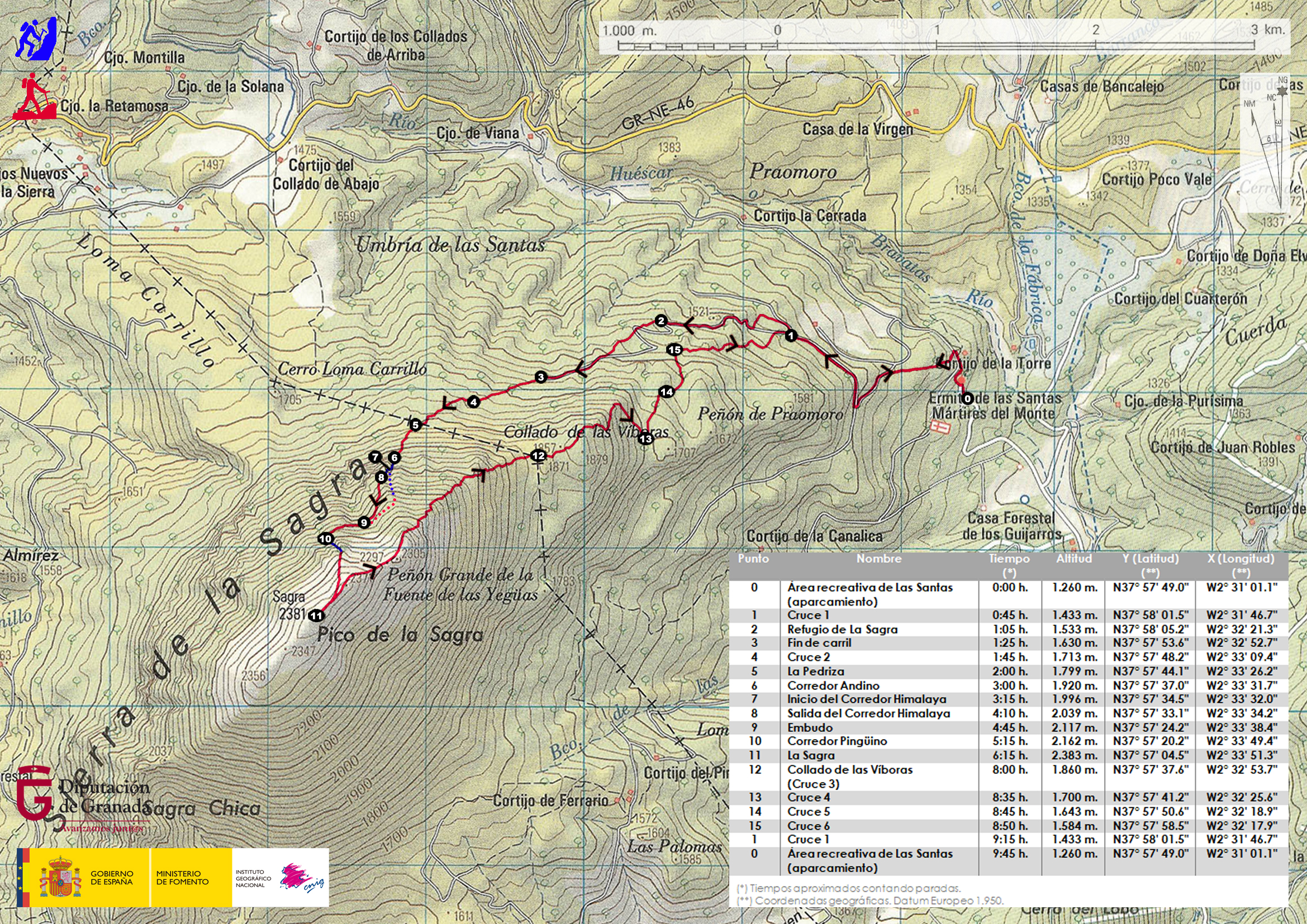
The elaboration of these reviews has required the previous realization of the specific activity.

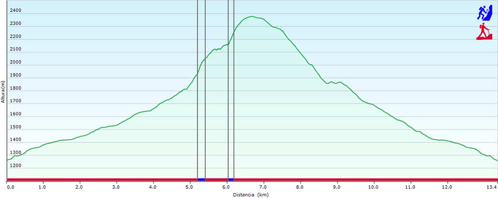
All times described are effective and indicative, having taken into account for their calculation an average group of participants, an average capacity of these and the minimum stops for refreshments and rest.

The information contained in this Website is to effects indicative of tourist practice or sport.

In no case does it involve the organization by the Provincial Council of Granada of the activities described herein.

The properties through which the itineraries run are not owned by the Provincial Council of Granada.

Neither corresponds to the same its maintenance.

In any case, the user has to take the necessary precautions for its use involves the exercise of a high-risk activity.

The equipment, signaling, and any other type of installation on the route may also suffer unforeseen variations with the passage of time, for various reasons such as weather, deterioration, or vandalism; therefore it is strongly recommended to be accompanied by a guide if you do not know the terrain or the situation in which the signaling or equipment are located.

Also, we invite you to document yourselves with books and specialized guides to complement the information described on this website.

Pre-plan the activity. You should obtain reliable and proven information about the route and the activity that is intended to perform, in terms of the physical demands, technique, equipment necessary to make it, etc, In this “design phase” of the activity is where you can act on those elements that generate the risk that the activity entails.

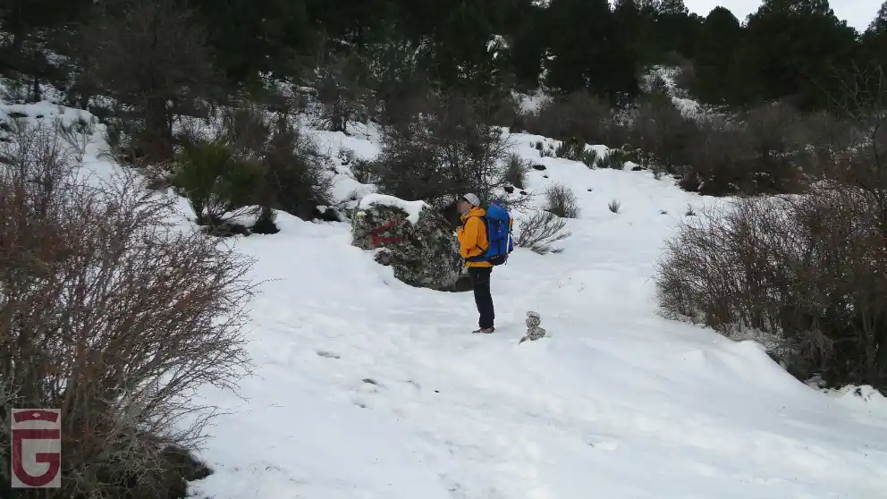
Inform yourselves about the weather in the area. Do not forget that the weather in the mountain is very variable. Today, there are numerous possibilities of obtaining this information. This information is valuable to analyze, evaluate and assess the tolerability of these risks (rain, snow, storms, wind, etc.) which may be present or to accompany the activity. The paths may vary a lot depending on the time of the year and the weather conditions, therefore it is recommended to pay attention to the recommendations made in this regard and check the weather before each departure.

Each one of the participants of an activity must assess whether the weather is or not adverse to their own physical condition and skills to cope with this activity and it is your responsibility to do it or not.

Confirm in the area the prior information. Once you have arrived at the area of the activity to confirm the information previously acquired on the condition of the trails, roads, the snow conditions, weather, water level of the rivers, the situation of the sea to the specific activities that develop there, equipment that could have the sports facility, in case you need them, and dangers arising lately in the path and/or activity etc

This information can be confirmed in the information centers, mountain guides, shelters, Police, etc., The information contained in this website is based on optimal conditions and equipment in good condition to do the activity, and it is not the responsibility of the Provincial council of Granada the conditions of the sport equipment.

Adapt the activity to our physical conditions. Be modest and learn to resign. You have to know to renounce, even though one is very experienced. The mountain will always be there and will wait for us. Always put first the safety of the collective, second the safety of the individual. You should never be too self-confident or lessen your focus, no tter how easy the activity is. The physical ability is fundamental to the realization of any activity in the mountains, so there is no overvaluing our physical abilities, and we have to know how to adapt the paths to our terms. In case of not having sufficient capacity, users should refrain from doing the routes.

Adapt the activity to our technical conditions. For the carrying out of any activity in the mountain and more those that involve some risk, it is necessary to have knowledge of the specific techniques and necessary to carry them out; so we recommend people who do not have the necessary knowledge to refrain from performing any activity, even those that seem easier like hiking. The simple reading of the reviews contained in this website do not train any person for practicing the activity. It is always recommended the accompaniment of guides and staff specialized in the mountains.

Likewise, it requires a prior and deep understanding of the medium in which the activity is carried out, as well as the right time and the optimal conditions to carry it out.

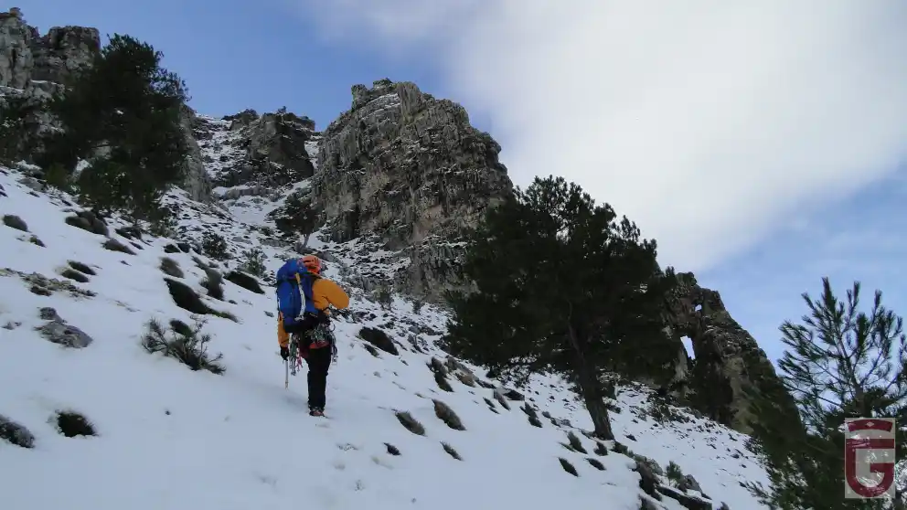
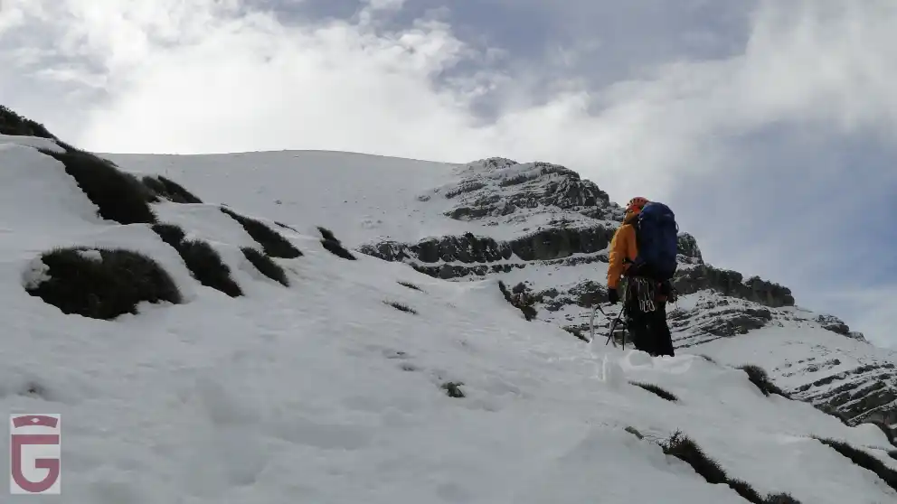
Personal technical equipment. It is absolutely essential to bring the technical material, clothing, footwear, specific documentation, equipment, sun protection, food and water, etc., necessary to perform sports activities. If the activity is of high commitment, it should be expanded to first aid kit and emergency resources. The equipment must be perfectly revised and adjusted to the information and pre-planning.

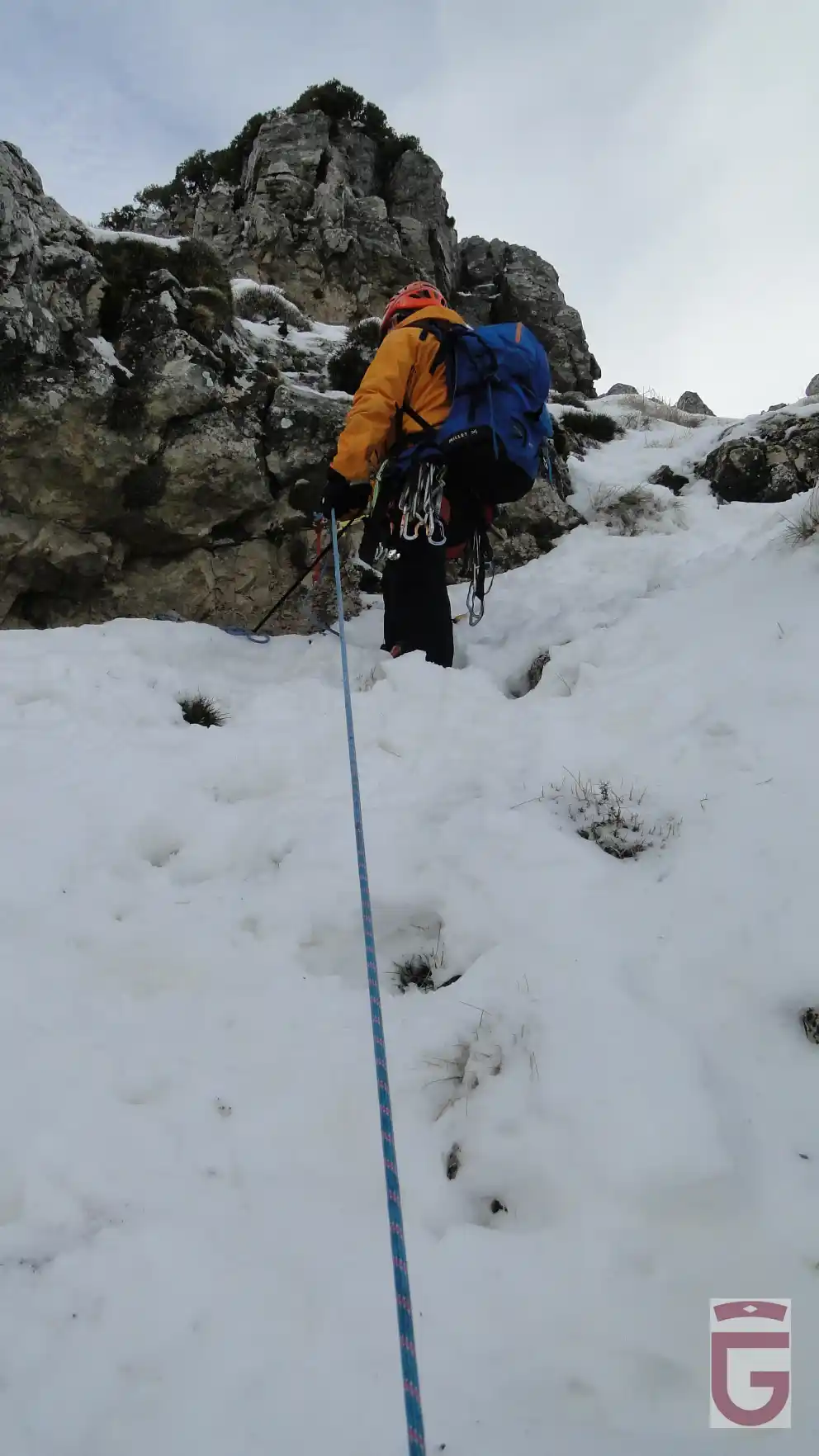
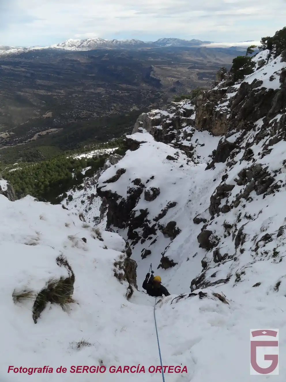
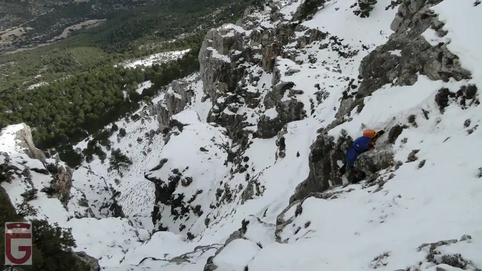
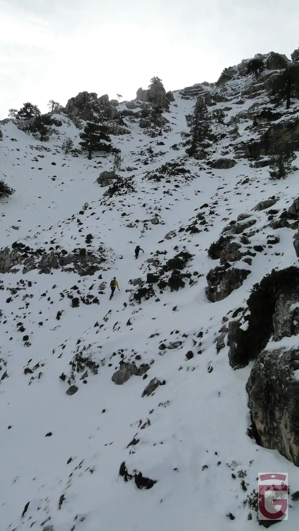
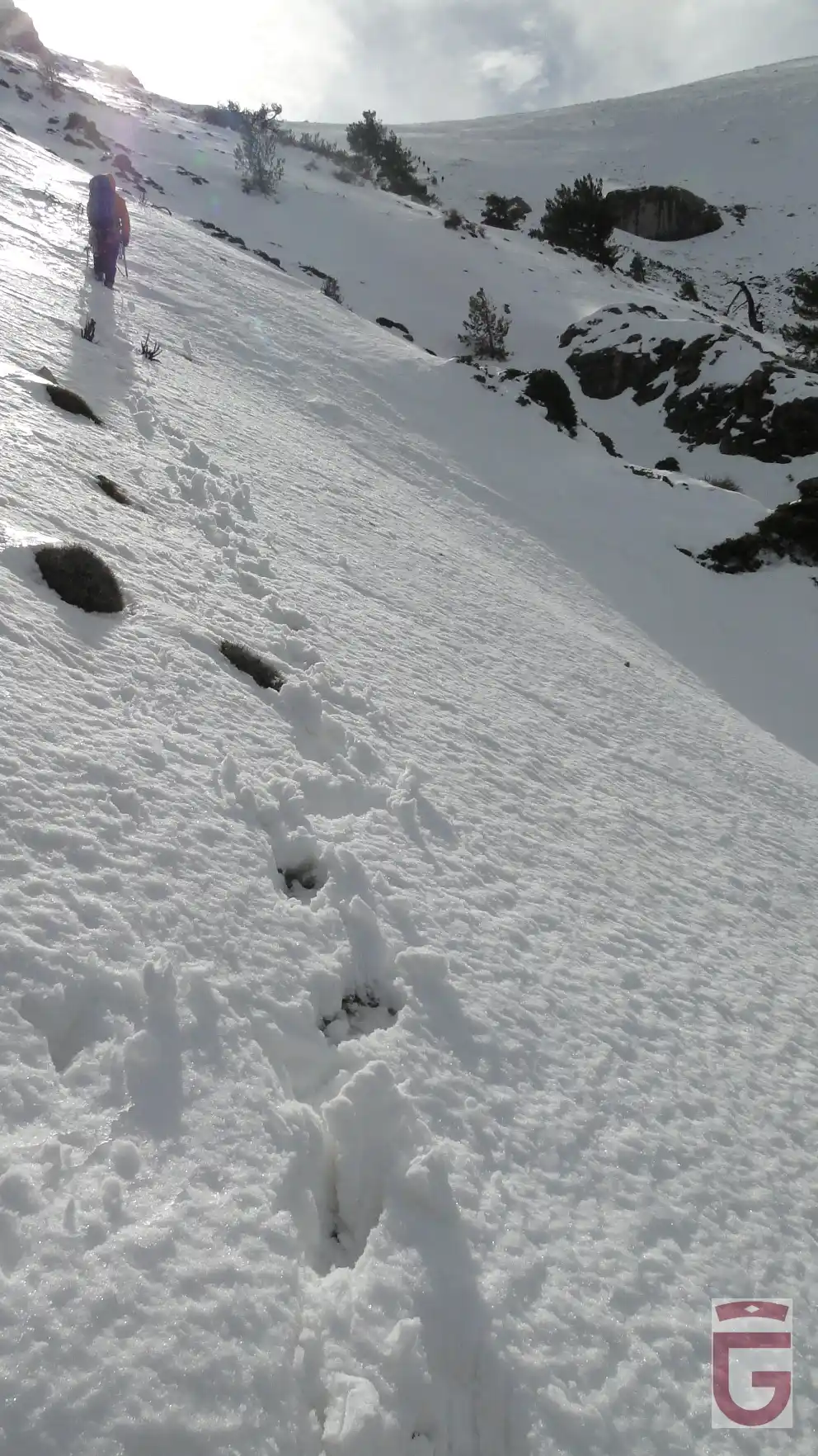
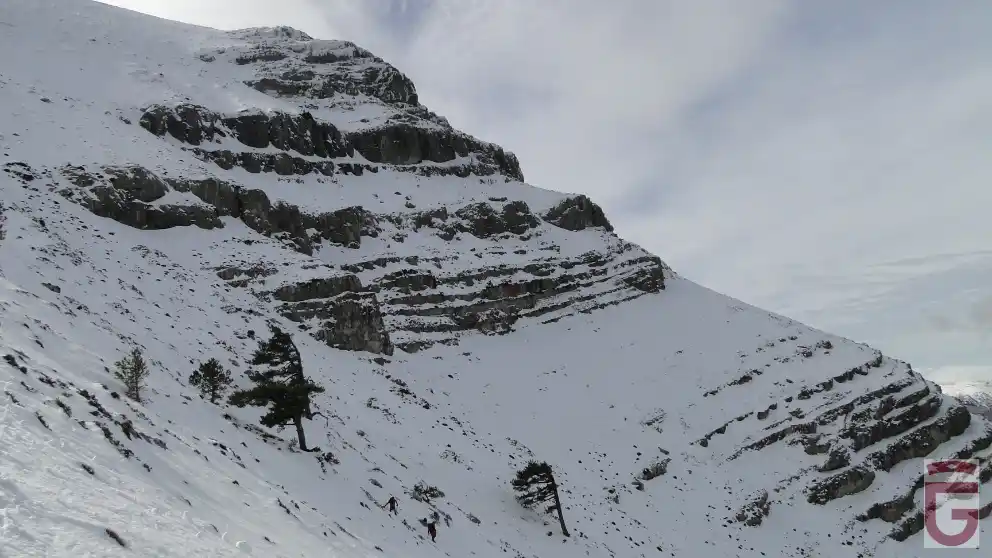
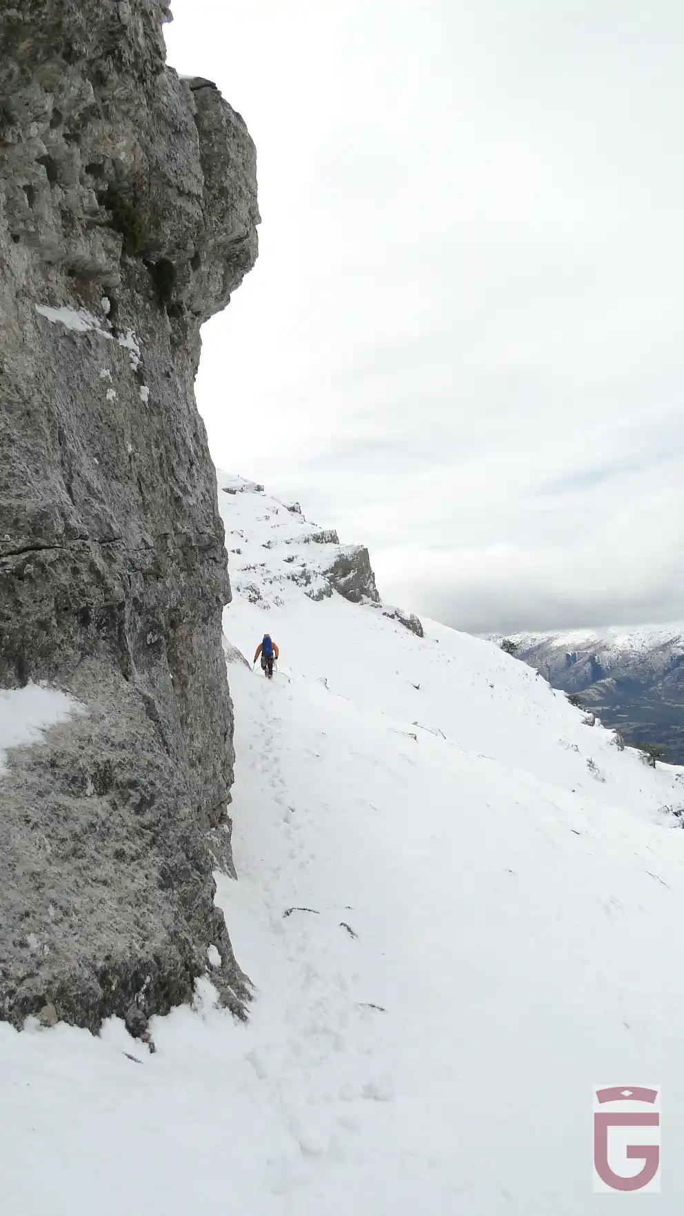
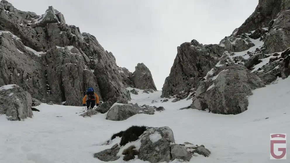
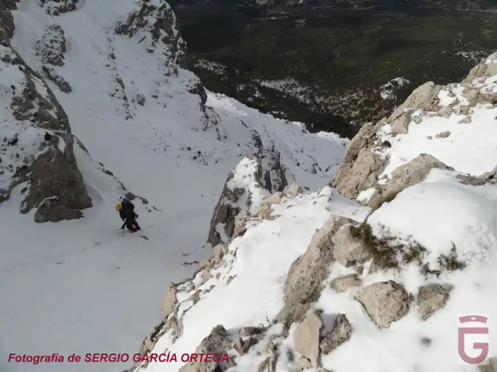
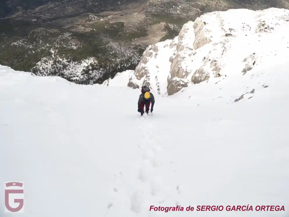
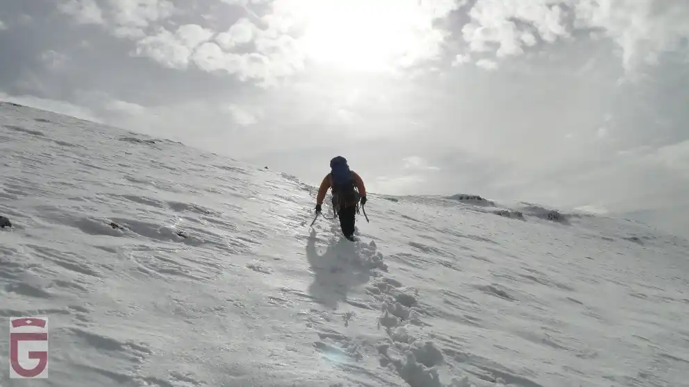
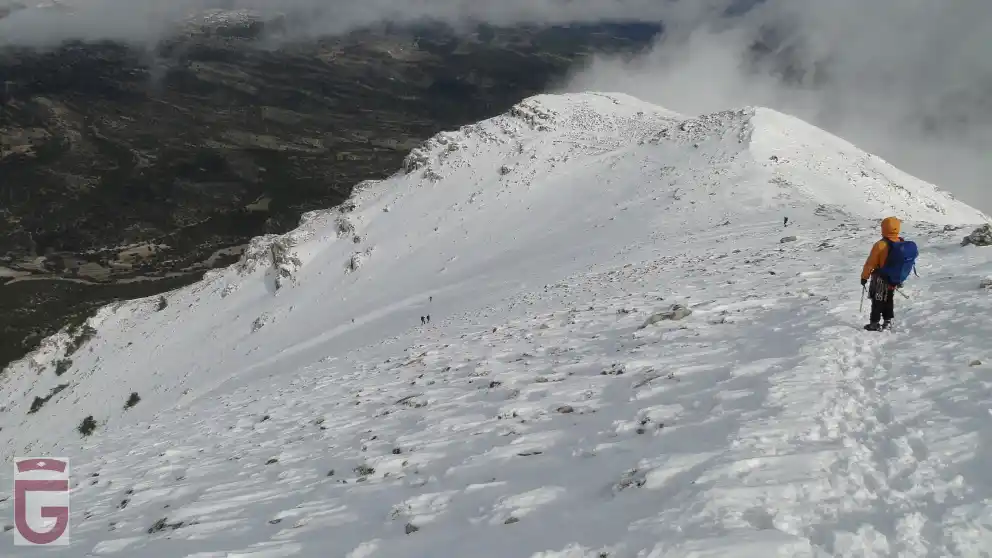
Subjective objective risks inherent in all sport activities on the mountain. In all athletic activities on the mountain there is an evident exposure to falls with very serious consequences, which may be, but not limited to: brain Trauma, in limbs due to slipping on rocks, in the jumps without any visibility of the bottom, poor reception to the water in the jumps, assurance deficient in the descent of rappelling, extreme tiredness, excess of confidence, lack of preparation or equipment for the activity, inappropriate use of material, hypothermia, and dehydration.

This type of sporting activity involves risks that each participant must know and assume.

We must never underestimate risks and overestimate our capabilities.

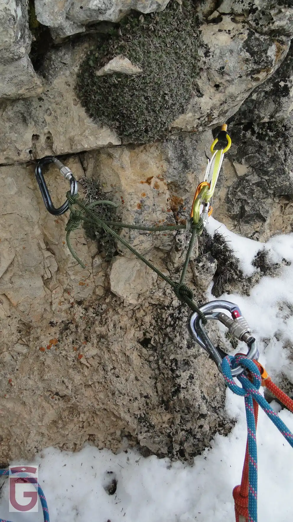
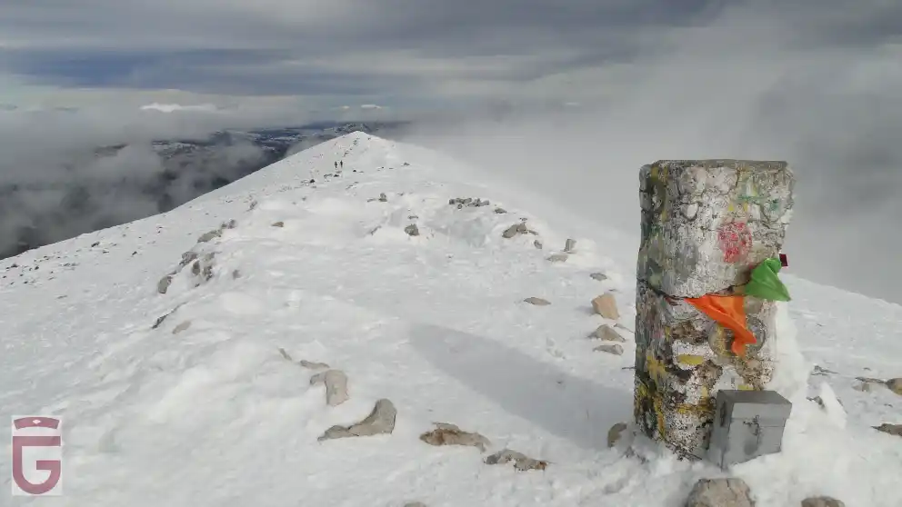
It is possible that the fixed equipment the activity counts on (ravines, climbing, etc) and that depends on the progression and/or the protection against the fall in some sections, is not in good condition, as we do not have a regulated periodic maintenance. It is the responsibility of each user to see/check if the material is in good conditions and judge whether or not they can trust in it before you use it.

There are activities which develop in the snow, in places that are very exposed, or in the inside of a course of water, and depending on the time (during defrost, immediately after a snowfall, after a period of rain or storm), could dramatically increase the flow becoming very technical and dangerous. We must never underestimate risks and overestimate our capabilities.

This type of sporting activity involves risks that each participant must know and assume.

As well as an activity in the nature, there may be rock falls, landslides or trees, etc

Guides. In case you go with a guide, you must follow the instructions of the guides, coordinators, or people with more experience, preventing situations of risk, personal or groupal. It is necessary to put in the knowledge of the guides or companions of the activity any possible injury or incident which may affect the development of the activity before and during the athletic activity in nature.

The participants in the activities contained in this website must possess sufficient knowledge and the physical capacity which will enable you to make the specified activities, and to deal with them they must have sufficient capacity, technical and physical, so that they can do it independently and safely. Likewise, they assume the risks inherent in this type of activities and have the knowledge and the equipment needed to perform the activities, and must be approved by the U. E. and in optimum condition for your use.

Do not go alone to the mountain to perform the activity. If you do so, limit yourselves only to places with prior experience, known and consistent with your physical ability and technique. Except in exceptional circumstances, never to leave alone a member of the group, and much less if they're injured or fatigued.

Report on the activity and planned itinerary and respect what has been planned. Communicate to someone (shelter, camping, hotel, friends, relatives) the place and the activity to be performed. And importantly, even if sometimes it is cumbersome, it is imperative to warn that same person of the end of the activity. This recommendation is essential when trying to perform a solo activity.

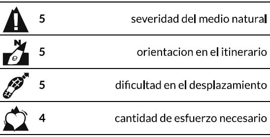
Graduations. The participants of the activities should be trained to perform the activities in function of the graduation set for each activity, so it is your responsibility to know these rankings and the risks that it involves, therefore you assume performing the activity and everything that could happen.

Learn how to orient yourself. Carry GPS, mapping of the area and compass. You can not trust everything to the GPS, in certain situations it may fail. With a proper handling of the compass and map, we can reduce the risks and prevent accidents.

The tracks for GPS in general, and, in particular, registered in ravines, corridors, corners and other tight places, generally contain inaccuracies.

Most of the GPS reflect the graphic scale of the map in the screen. As we activate the zoom of the device, the scale of the map will vary. If we “get closer to the ground,” the scale of the map decreases, and, consequently, we see a smaller amount of “ground” than if we “get away” from it, that is to say, that we increase the scale of the map.

When you follow a downloaded and previously stored track in our GPS, we must ensure that the scale of the map on which the path appears is never too small. We will seek to “get away” from the floor, and we will not obsess with faithfully following the stored track , because we may not notice the inaccuracies that the latter contains.

The precision of the GPS is used to record the route is one, and the GPS that we are using for doing it is another, and therefore, it will be impossible that the points of both tracks which serves us as a guide and that we are recording, match at 100%. It is for this reason that, even when there is only one way to travel a particular location, let us note that the track that serves us as a guide runs several meters to the right or to the left of our location.

The activity in the mountains is not finished until we return to a safe place. The summit is only half of the journey. Do let your guard down until you're completely safe. This includes returning home in your car. There are too many mountain sports practitioners who have road accidents after a tough activity.

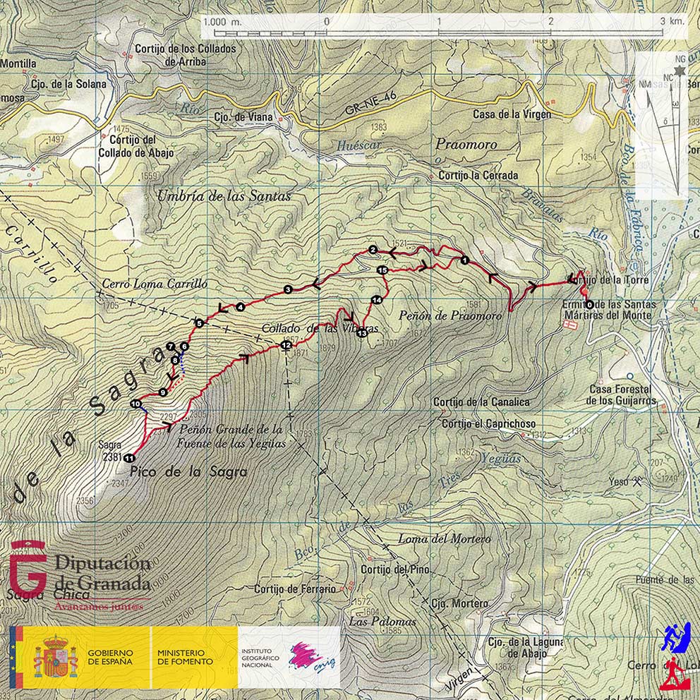
The digital mapping used in this website has been generated by the IGN (National Geographic Institute), to be used according to the conditions of the license of use and in accordance with the Ministerial Order FOM/2807/2015.

If there's any accident alert the emergency number, and even the family members or emergency contact. Every minute is important. To meet this recommendation is necessary to carry a mobile phone with charged batteries or any other means of communication to launch the alarm. The GPS is very useful to properly communicate our position and to facilitate our location. In Spain, the monst useful emergency phone numbers are 112 (Civil Protection), 062 (Civil Guard).

The Provincial council of Granada is not responsible for the correct or incorrect use which might be made of this summary, and the consequences that may arise from it. For this reason, it is recommended to the users to be responsible and prudent while carrying ouit the activities on this website. The use of these reviews implies the user will assume the inherent risks of the activity and involves the recognition of their sole responsibility for the security during the development of the activity. The simple reading of the reviews contained in this website do not train any person to practice the activity. It is always recommended to be accompaniment by guides and staff specialized in the mountains.

The various activities contained in this website, are part of what are considered to be risk sports, and they require learning and experience. This website provides technical information for many sport activities in nature, existing at present in the province of Granada, without managing to include, on occasions, information about the state of conservation and maintenance of the routes, facilities or equipment, if there's any. Therefore, the security contiditions for each and every proposed activity are not guaranteed.

The Provincial council of Granada does not assume in any case any responsibility for accidents that may occur while performing the activities listed here.

The information contained in this website is not intended to replace in any case, the experience of participating in sporting activities in the nature, who should be aware of the risks associated with the practice of these sports that are presented here and assume the responsibility to address these risks.

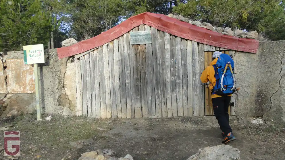
Some of the areas included in this guide are located within protected natural spaces subject to specific legislation and that the mountaineer should know beforehand.

The Provincial council of Granada does not assume in any case, the legal consequences of any infringements against the current legislation.

For any suggestion, the Provincial council of Granad invites you to send an email to the Contact from the web www.exploregranada.es.